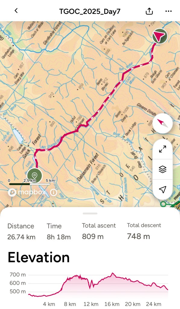
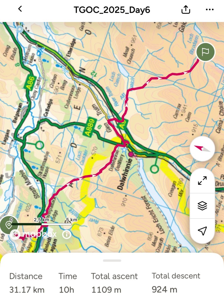
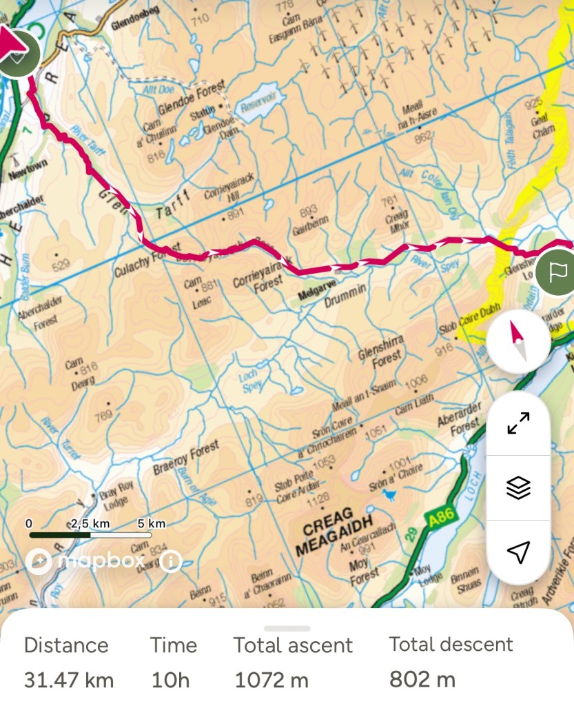
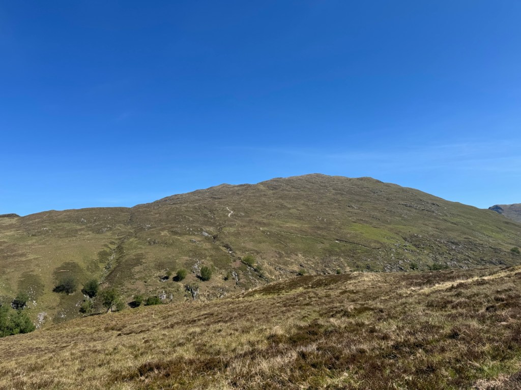
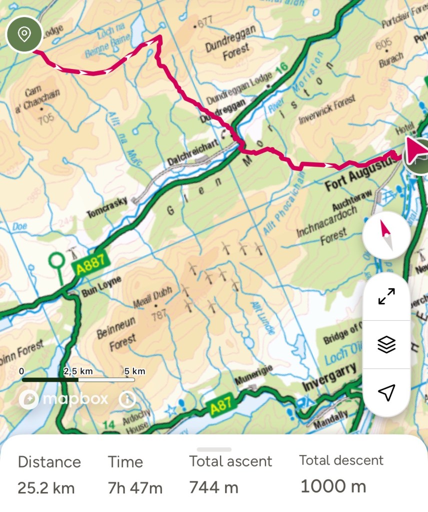
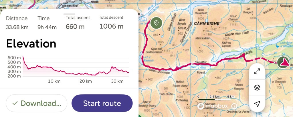
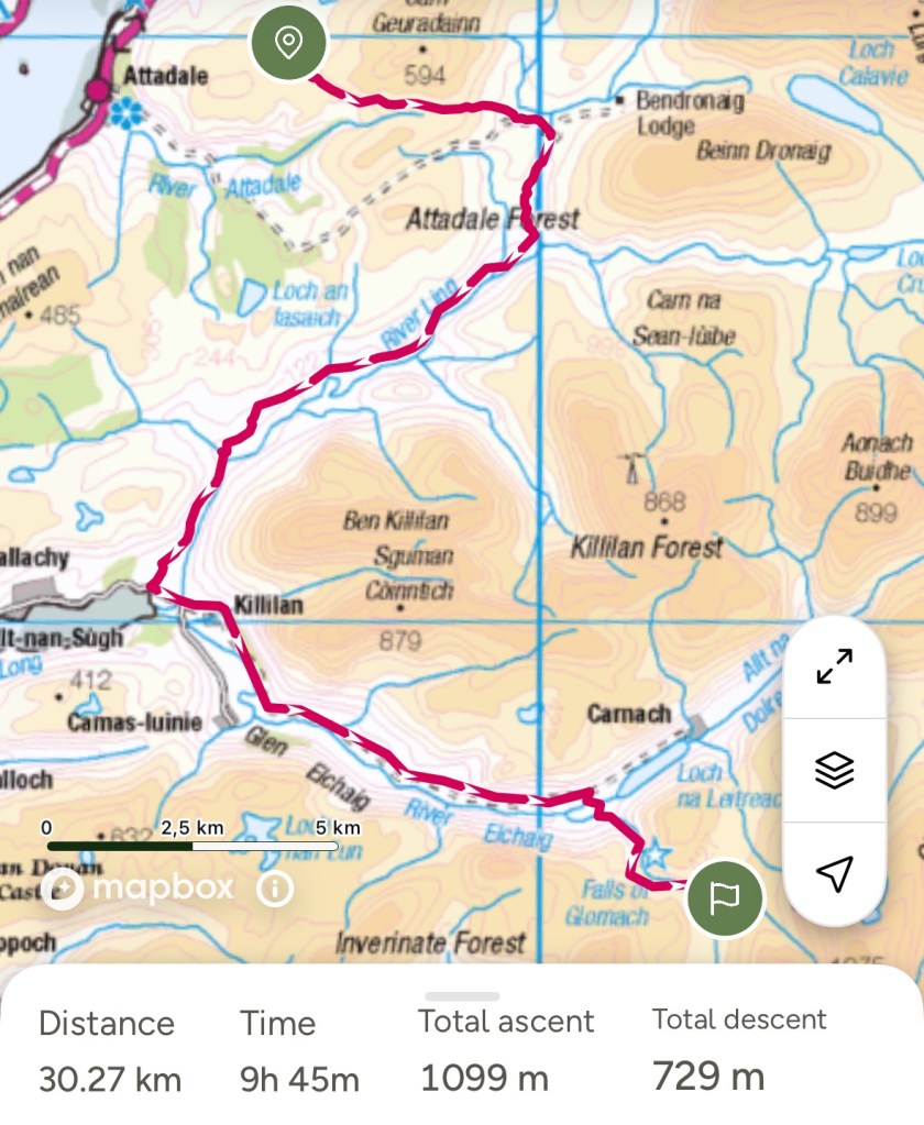
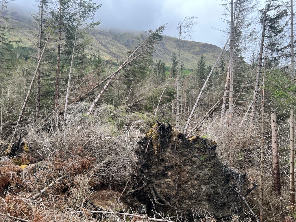
Todays trip — was the most strenuous so far despite the “only” 27km — took me almost 11 hours
Look easy on the map … how wrong was I.
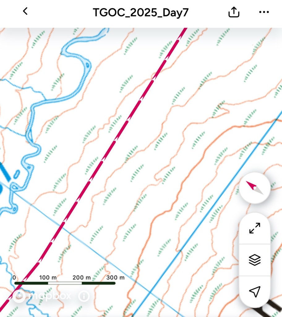
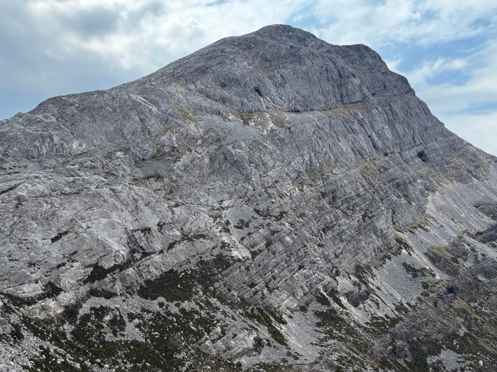
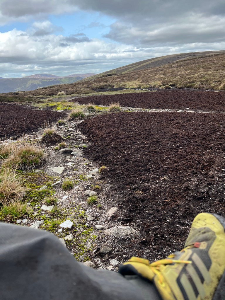
If you see the grass bushes on the map it indicates marsh / bog terrain. And I had to go 15km through that today …
All in all I was completely exhausted and spend 11 hours walking … and people who know me also know that I typically do not take breaks or only short ones.
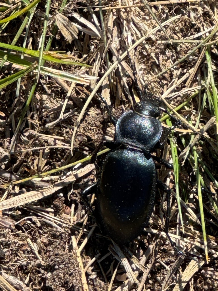
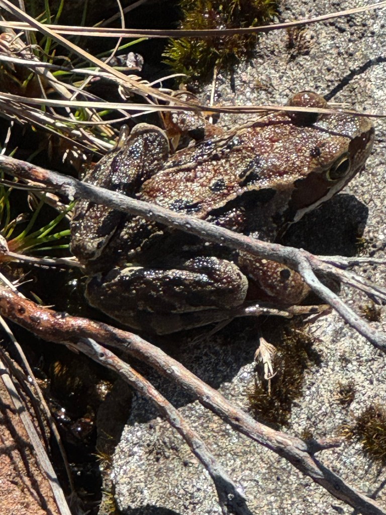
Saw lots of frogs and beetles today though … on the positive note 😉
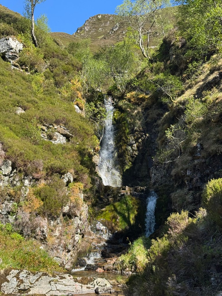
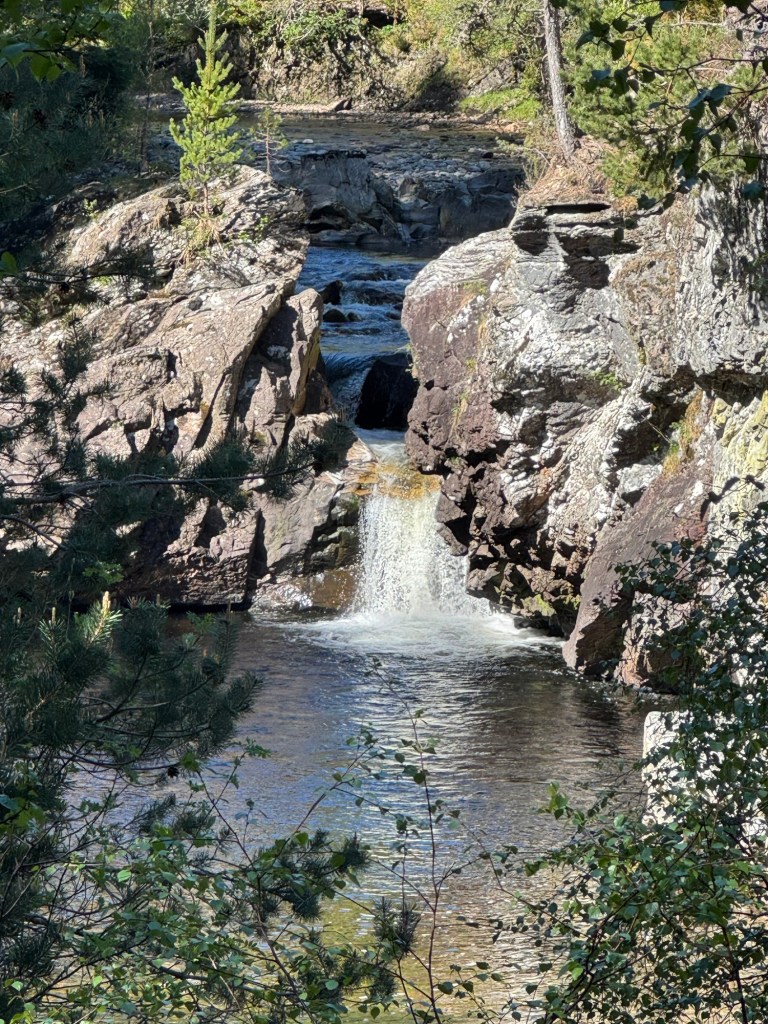
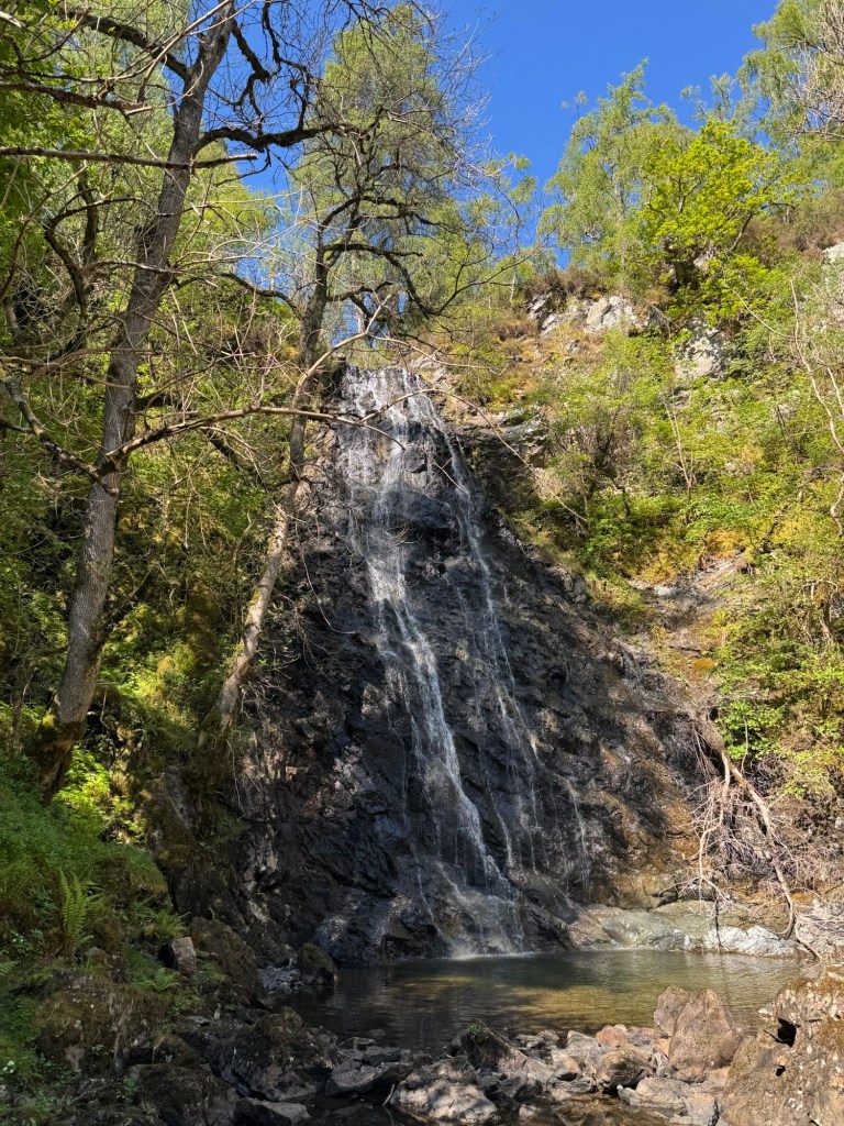
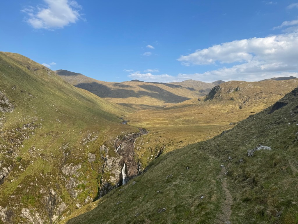
Kept walking up for about 500 am along some spectacular waterfalls and still enough water … I am positively surprised.
Almost on top I suddenly saw a person in front of me taking a break … on this path? Actually not a path … just on the map, but likely not walked for months.
And guess who it was?
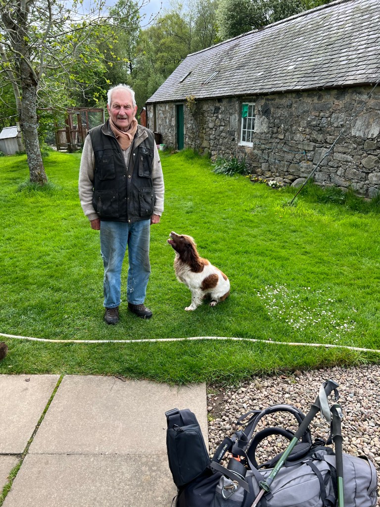
Immo from Berlin, who virtually “saved” my live in 2021 when customs had unknowingly to me taken my gas cartridge and he gave me his spare one.
In 2023 I met a lonely guy sitting at a table waiting for the Cafe at Kinnloch Rannoch to open … was Immo (paid my debt back by inviting him for breakfast)!
And now 2025 day 8 in one of the remotest places you can meet someone!
Wonder where we will meet in 2027 — this is certainly one of the oddest things — don’t meet anyone else for days and then Immo again … and both of us started at different places, different days and did not know the tour of the other. Hope you come visit me in our scottish house one-time … open invitation for you!
Immo from Berlin — these coincidences cannot be normal!!!!!
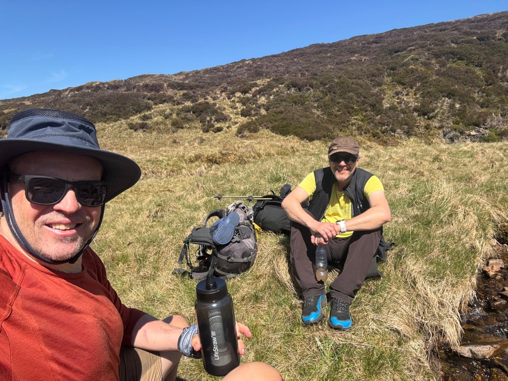
After a short chat and some walking together he left to Blair Atholl and I went up another hill to start my 15km cross the marsh terrain.
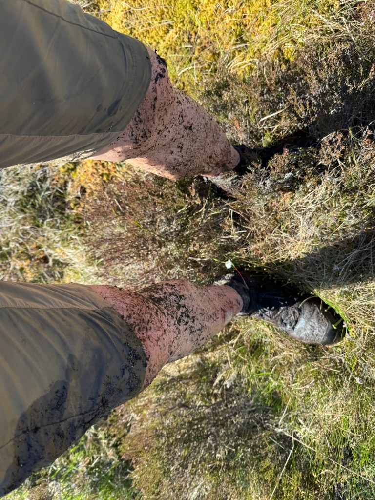
That is how it looked for 4 hours … no paths just holes …Looked several times that way 😖
But everything has an end … and around 19:00 I reached my planned campsite location.
And my learnings:
TGOC is magical with unexplainable surprises
Boggy terrain is a real pain when it had not rained for 3 weeks … imagine if it previously had rained for many days.
Because it had ups and downs, frustrations, but also bright and surprising moments … and “magical” support from other challengers.
You need to understand that around 300 people do this challenge, but they start at 12 different locations on the Atlantic coast several hundert kilometers apart from each other. You can also start at different days and can pick your individual route taking up to 15 walking days … and last but not least, you can end up on the North Sea coast on locations that are over 100 km apart. The chance of meeting someone who does this challenge is relatively small … you are all going roughly the same direction!
But let’s start at the beginning … not an ideal camping site … no water and not a particularly nice location. But it was late, I was tired and still had about one liter of water …
It actually took only a little more than an hour to reach the river Pattack … I filled up again and also made myself an instant noodle breakfast with a tea.
Crossing the next hill group should bring me into Dalwhinnie. First through a georgeous forest with some nice waterfalls … still surprises me where the water comes from after more than 2 weeks of zero rainfall.
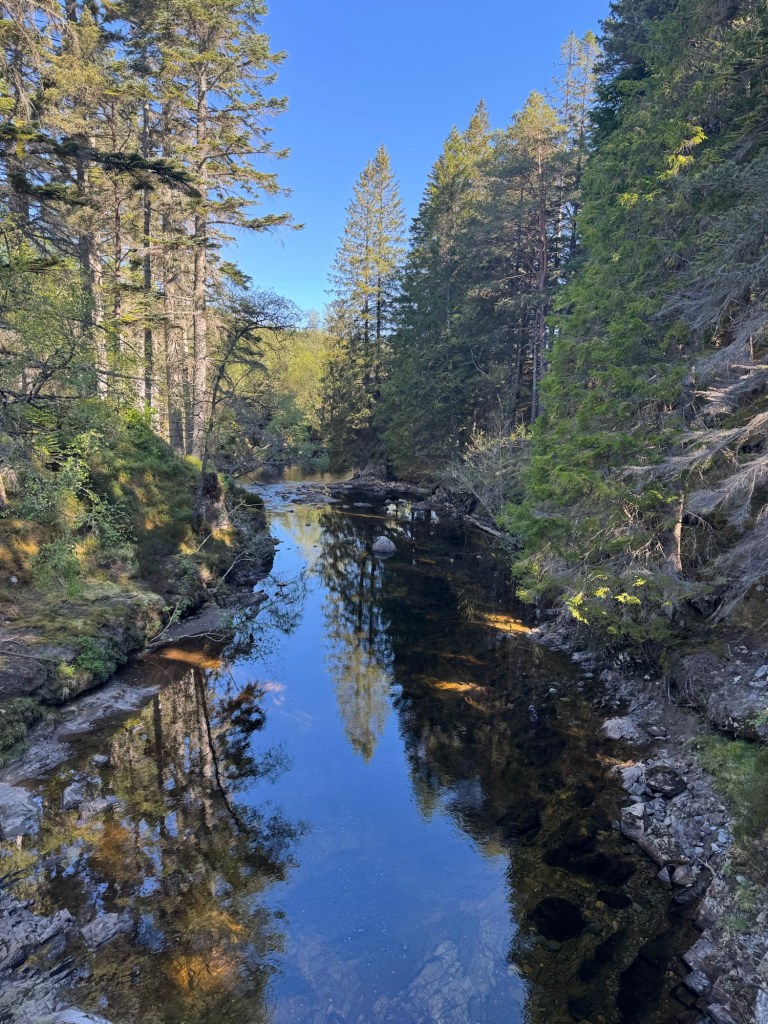
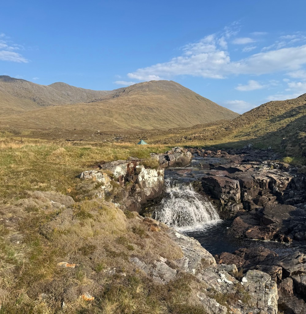
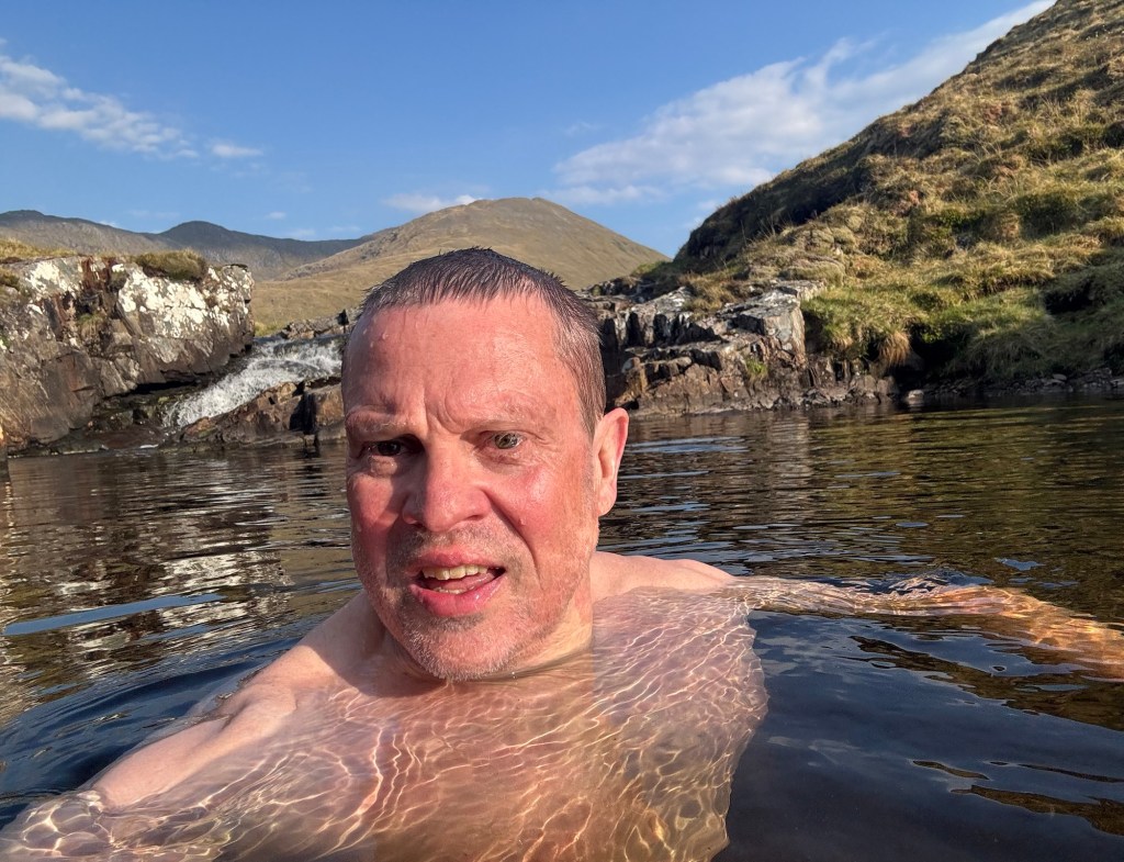
Pattack River…too far and too early in the walk … otherwise I would have taken a bath
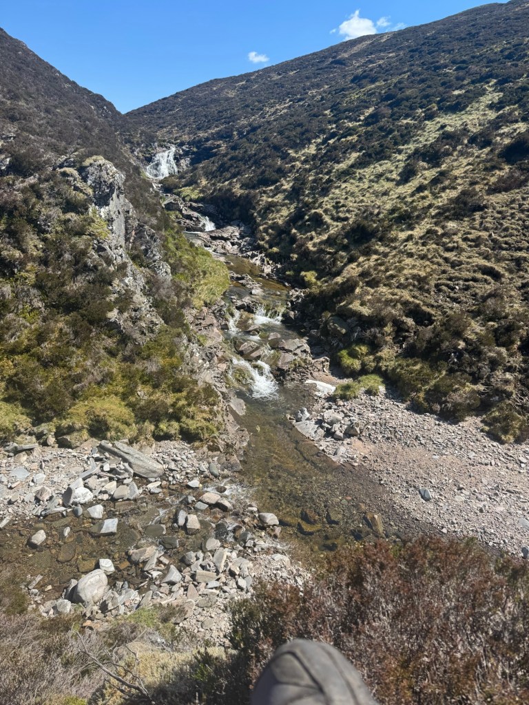
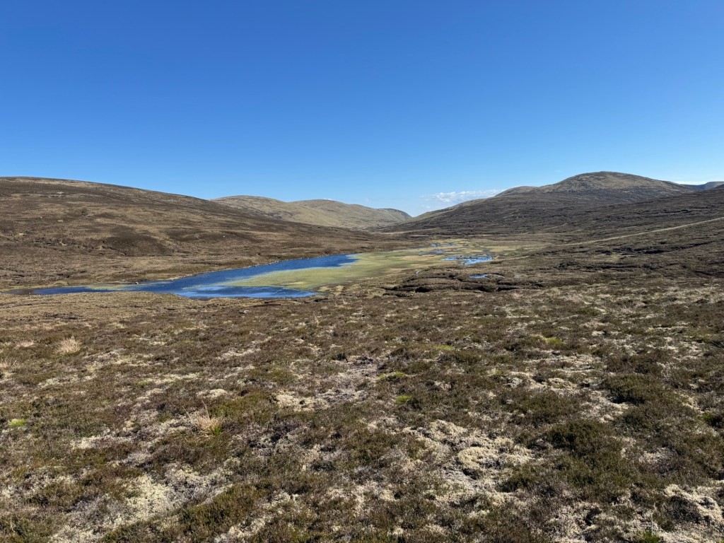
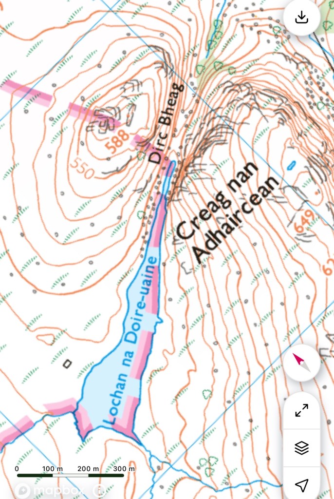
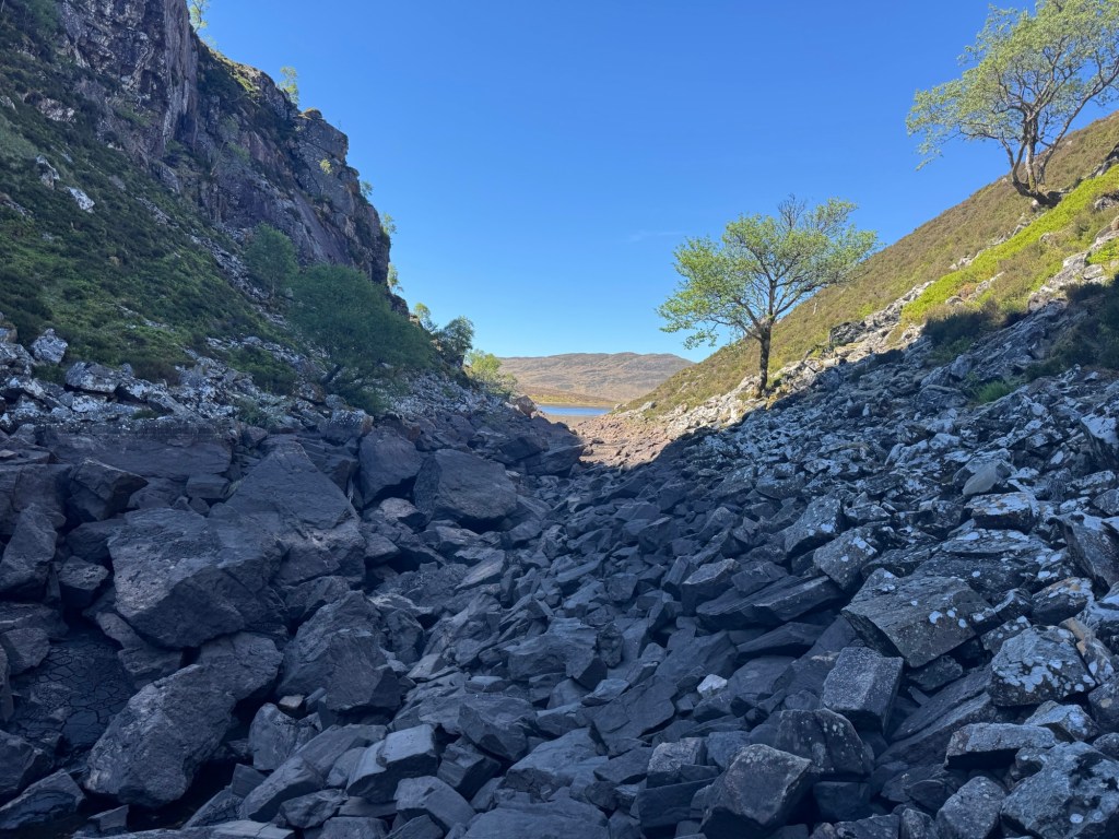
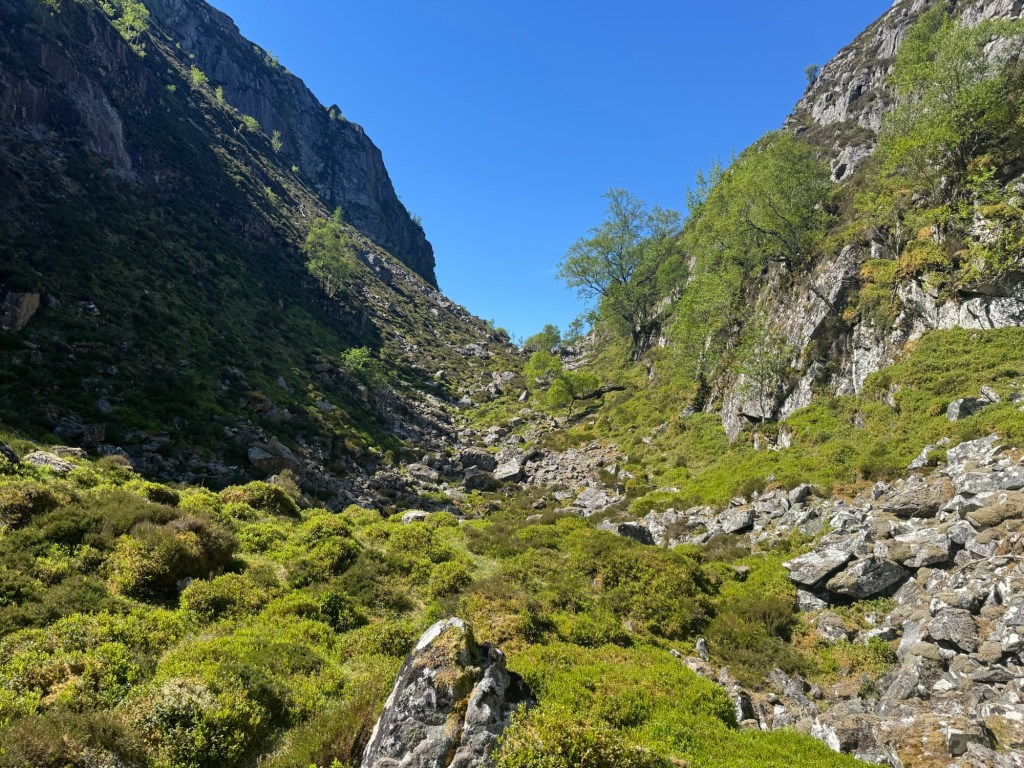
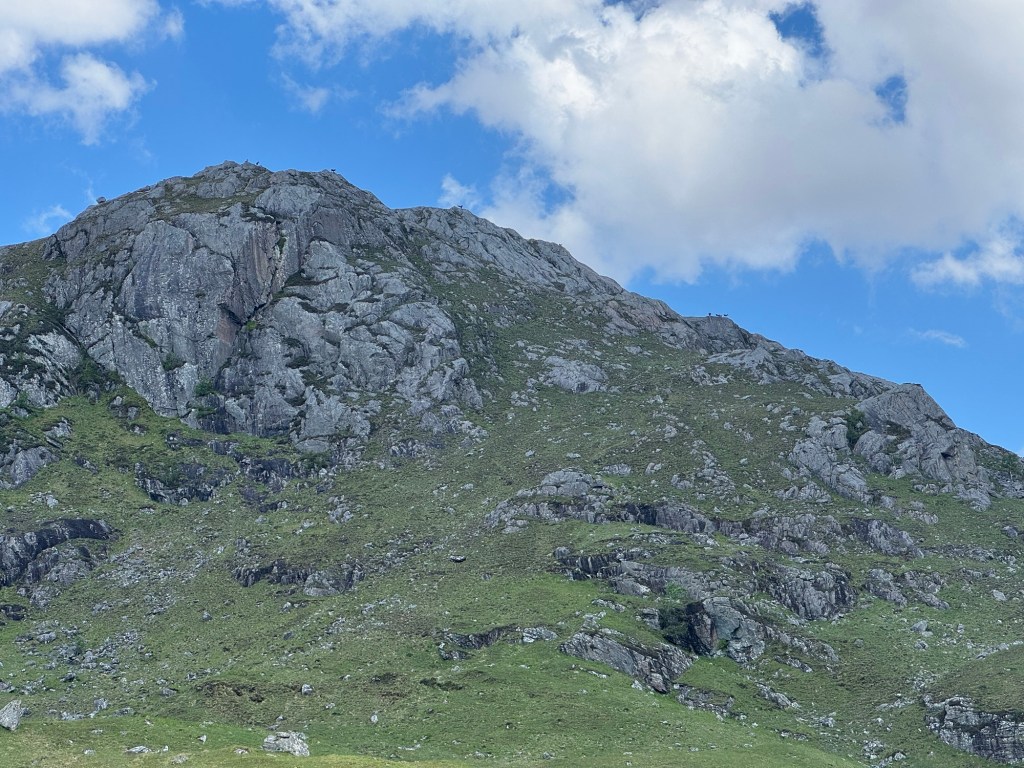
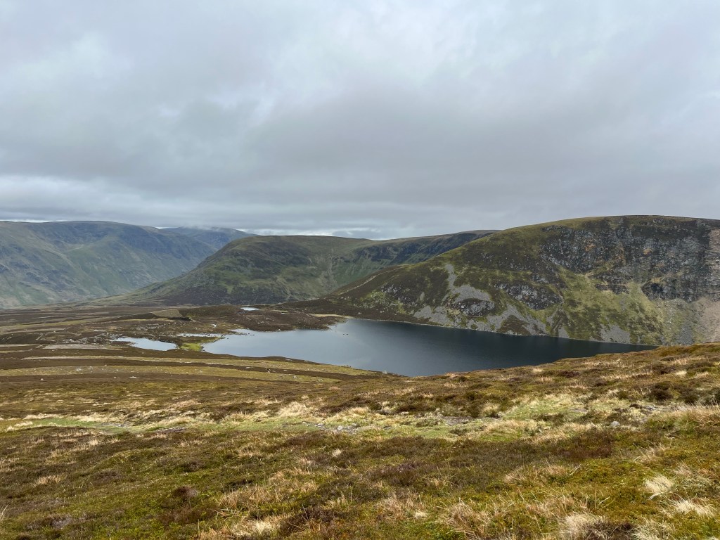
The path ended as shown on the map and I had to cross over to another path … roughly 5km on the map. And how deceiving maps can be … I thought that little gorge named Dirc Bheag is not a big deal and rather flat. Well it was not … just the 1km through that took me more than 1 hour … if you see the pictures you know why.
this was the little gorge on the map the lochan in the back … and you see the problems already
The little lochan was only half full so approaching the gorge I walked along the shoreline, and … saw footsteps of another idiot like me who thought that this was a viable alternative.
… and the other side … a little later I fell 🤕
I was basically finished when I stepped into a mud hole and fell forward into another mud hole while making contact with sharp rocks. My leg was rather heavily bleeding so I needed to stop and use the first aid kit … no ointment creme though 😖
And while packing up I realised that my old buddy, the Tissot wristwatch, was gone. Nowhere to be found … enclosed picture shows the location … if anyone finds it I will for sure give you a reward.
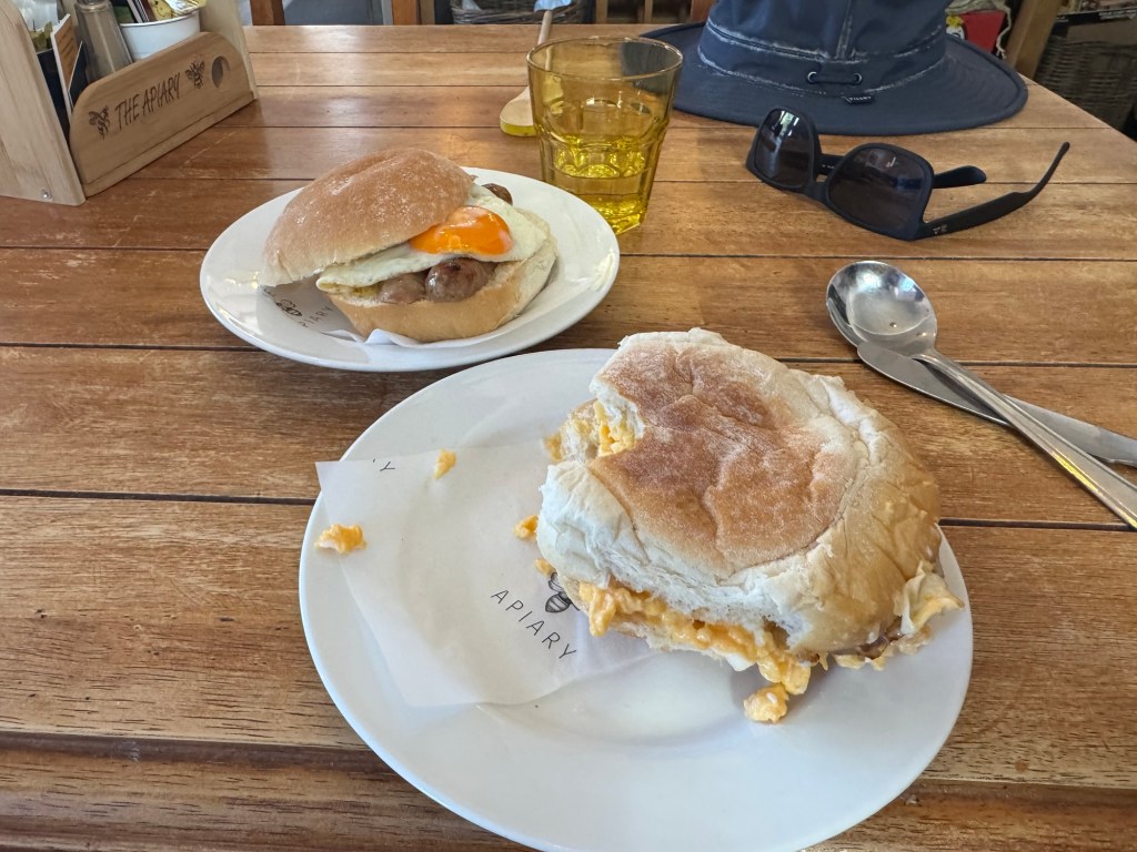
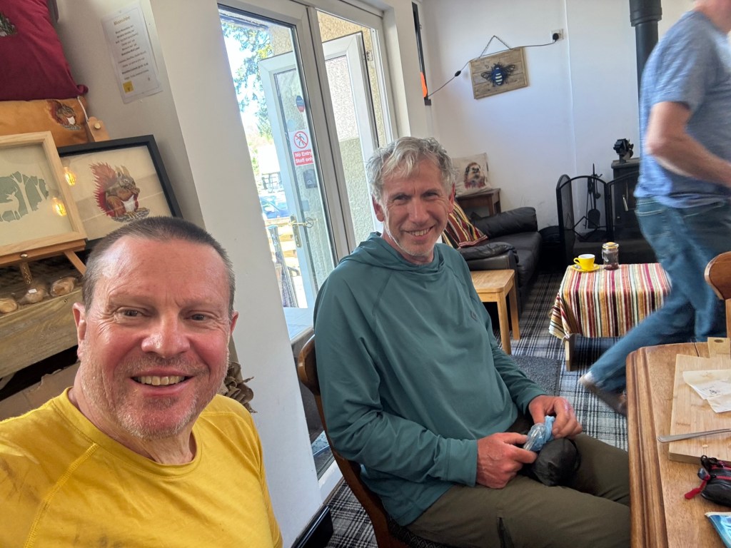
On towards Dalwhinnie I met Andrew and we walked together to the APIARY Cafe … nice place and my early afternoon lunch consisted of a breakfast roll with sausage and fried egg, another one with sausage and scrambled eggs, a cake, a cider, and a ☕️ mocca. And Andrew, my first challenge angel, had ointment creme!
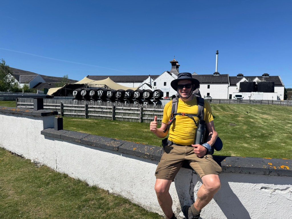
Dalwhinnie — was there twice already … but really lovely distillery … sorry, picture could not wait … was so hungry … and here is Andrew
For him it was the destination for the day … for me only halftime with another 15km to go and up 600 altitude meters.
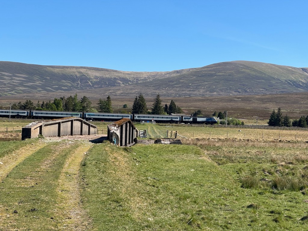
First part was road, then I crossed the A9 (and luckily the train to Edinburgh passed as well) and subsequently following the gigantic waterlines for a while. As often in Scotland and as already happened in the morning the path suddenly ended.
A9 and the train to Edinburgh … in the back the mountain I still had to go up
It is amazing how easily one gets lost in that terrain despite trackers and GPS guidance.
I also saw a Black Adder snake again … saw one already in 2021. Poisonous, but not dangerous for humans, and quite shy anyway.
The Black Adder
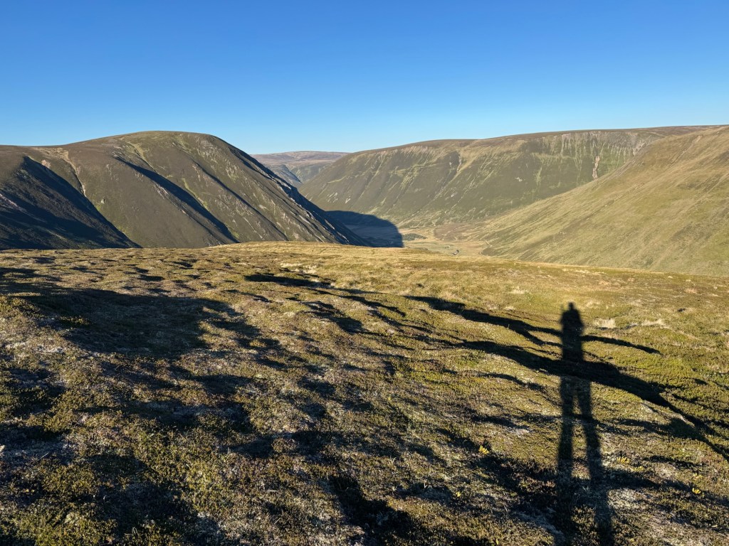
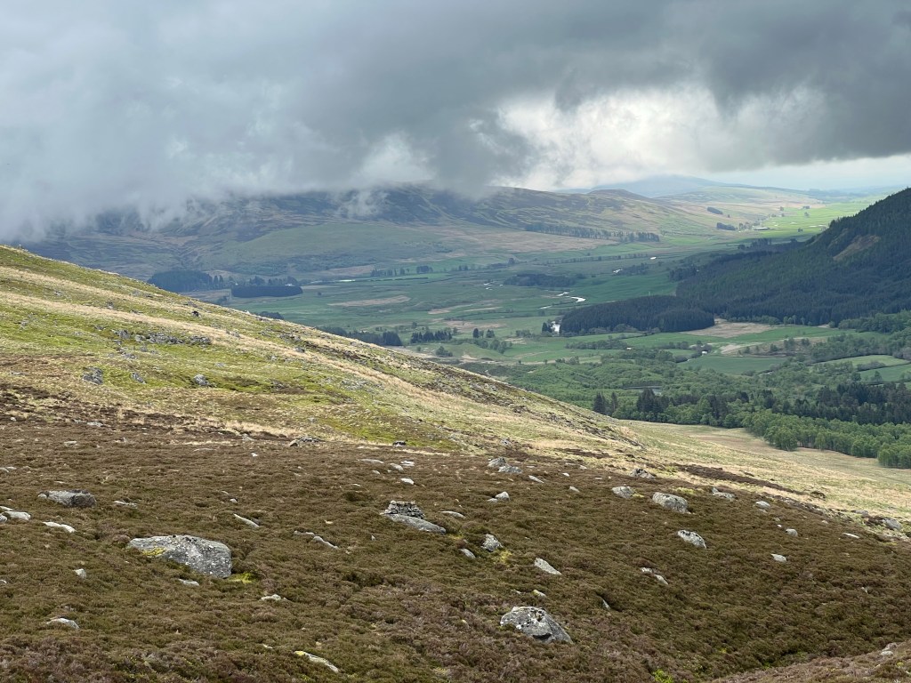
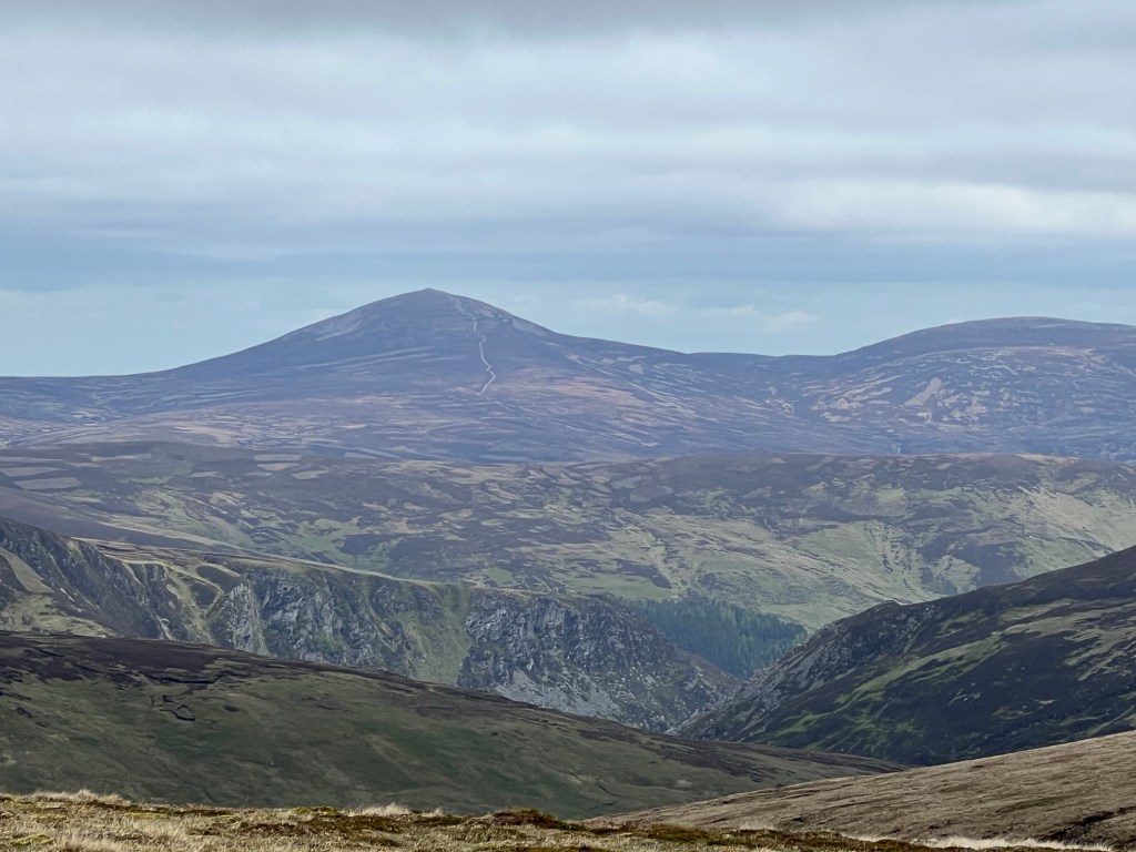
Anyway, eventually made it to 850m altitude with a fantastic panoramic view and a super steep decline towards my campground location.
Views from the top … and then 500m super steep down … for todays camping spot
What I learned today:
The fact that it did not rain for 10 days does not mean that the ground is dry in Scotland!
The scottish terrain is difficult to imagine by looking at the maps! You need to experience it!
A shortcut is often not a good idea!
There is always a challenger around when you need one. I experienced that in the previous crossings as well! … and that despite the fact that you typically don’t see anyone all day!
And sorry for the long wait … I am already at day 9 when I was able to publish that. Rest will come likely today when I stay at the Clova Hotel.
Todays tour over Corrieyairack pass into Glen Spey
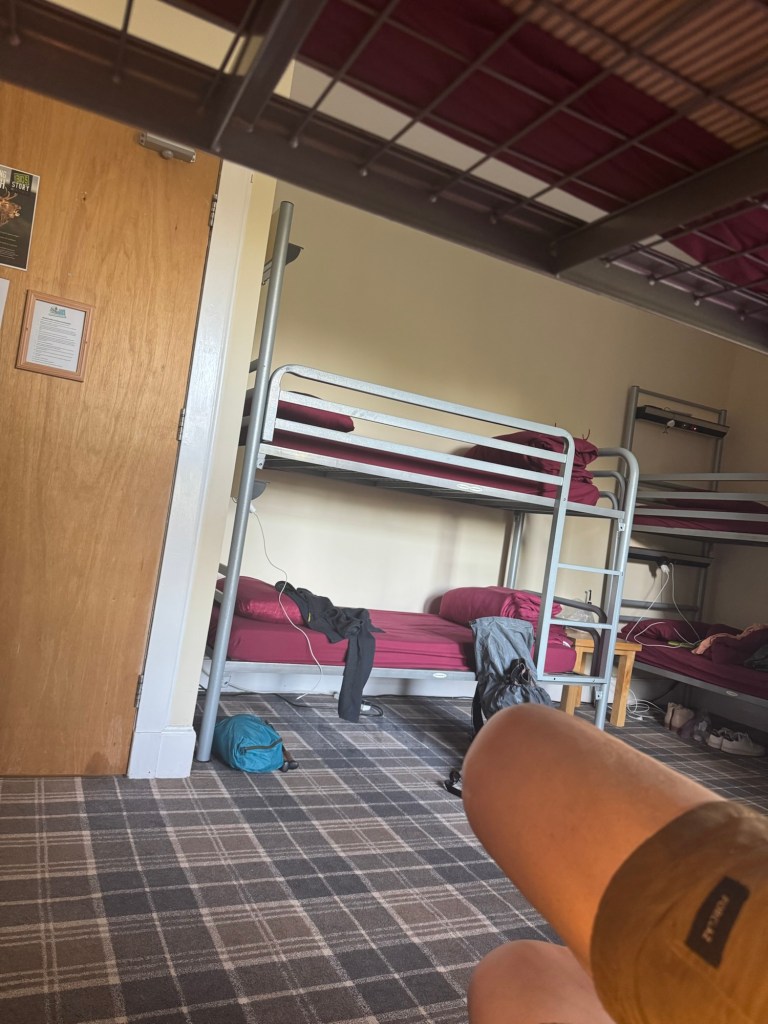
Well first let’s talk about the sleeping experience in a full 6 bed bunkbed room. I have a (long passed) military and german alpine hut background where you sometimes slept with 20 or even more people in one room. There is at least one who heavily snores and/or someone who is simply loud.
We had one of those as well … actually a person snoring and not behaving well … and it was not me.
I brought earplugs and a sleeping mask and survived!
At breakfast I met 4 challengers and we had a long chat about personal experiences and where to go or not go.
Left at around 09:30 first crossing Fort Augustus and then up towards Corrieyairdack pass … I took the scenic (longer) route along the river passing the beautiful Lady Falls.
Lady Falls
The little path ended and I had to cross over to the passroad and got lost … I saw a road going up the hill and did not even check … did not follow a rule that I teach my students in the first class „an assumption is the mother of all the fuck-ups“ (excuse my words).
I was certain that this is the right mountain and correct direction … without checking … added 2-3km and 45 minutes 😖
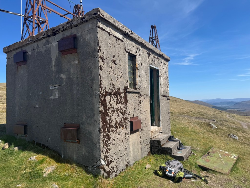
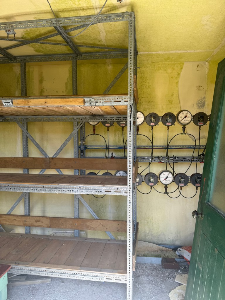
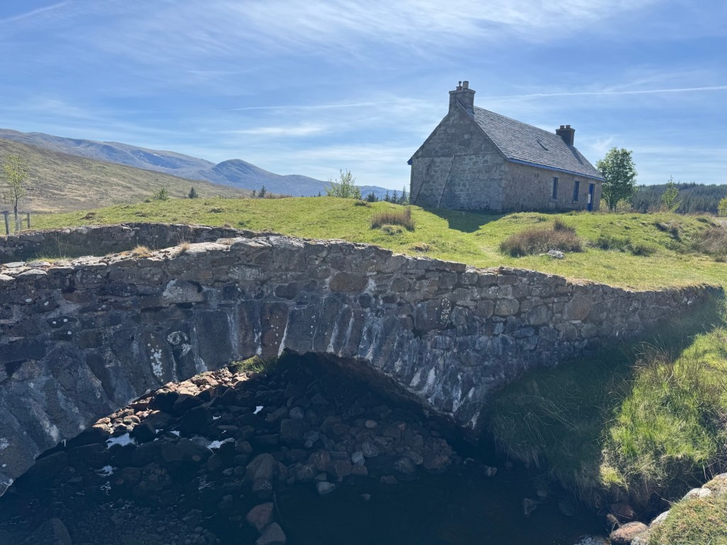
Eventually made it up the pass taking a short rest stop at an interesting little building with 3 beds and electric meters installed … long abandoned.
The building at the top of Corrieyairdack pass… and the inside
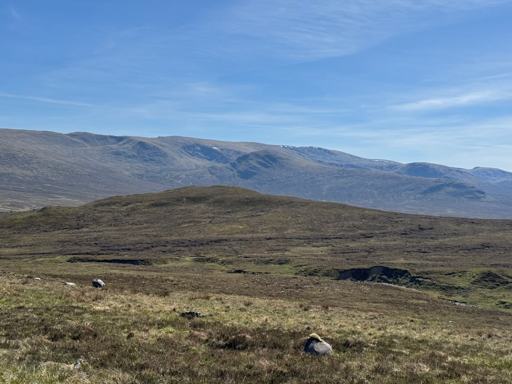
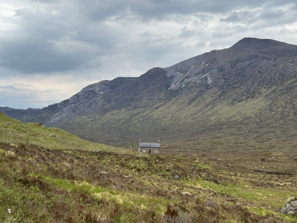
Down into Glen Spey … still some snow patches on the Munros of Creag Meagaidh … and passing Melgarve bothy where I stayed in 2021 (Day 4 from Mallaig).
… still some snow patches … Melgarve Bothy
Still 12km to go from here 😥
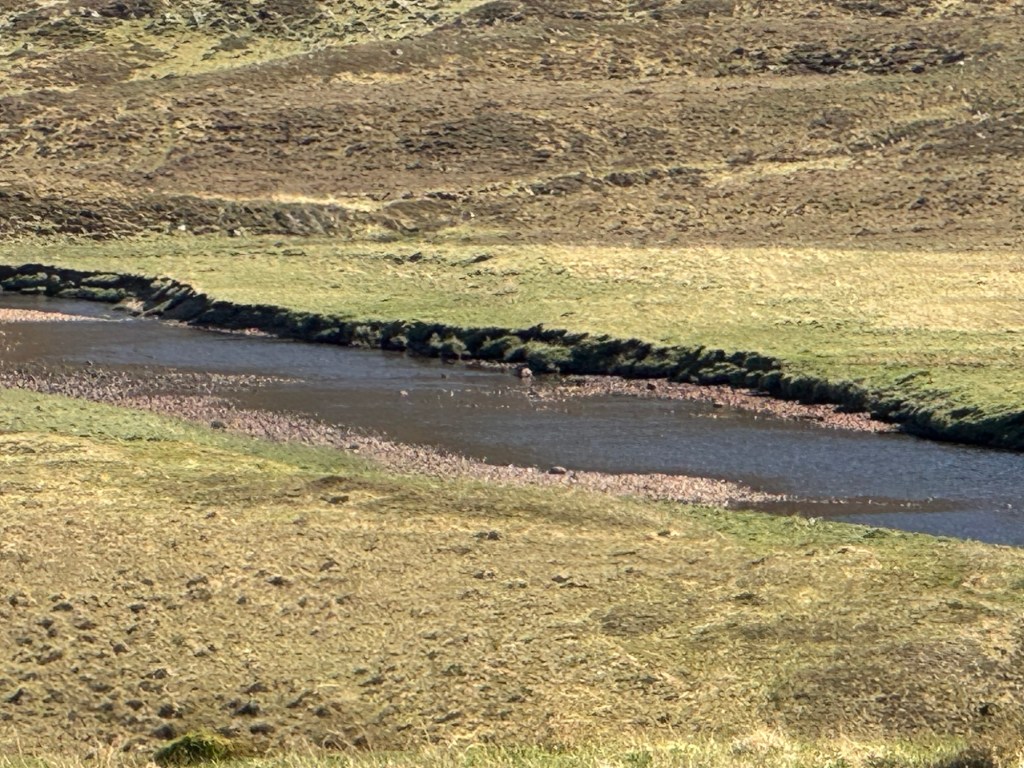
Shocking how little water is in the Spey River … but maybe you see the red deer standing in the middle of it.
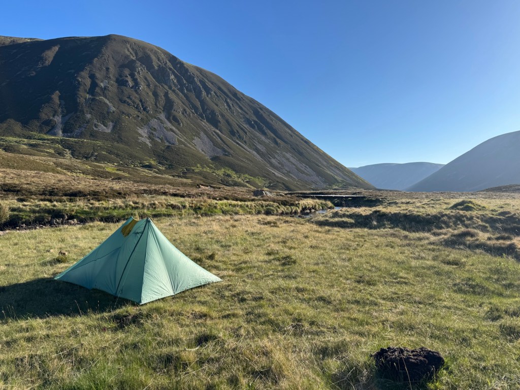
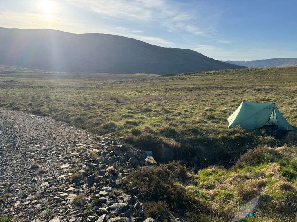
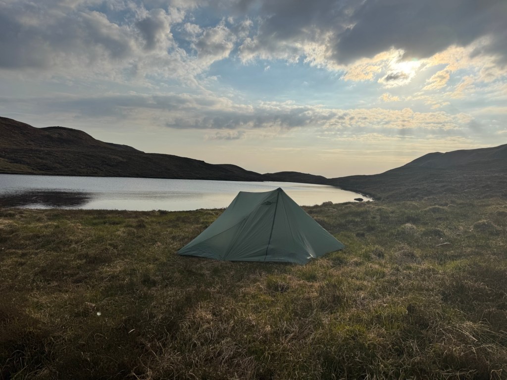
Unfortunately I could not camp at the place I planned to … all fenced in! I went a little further hoping to find a good spot and water. The camping spot is OK … but looks more favourable on the picture then it really was.
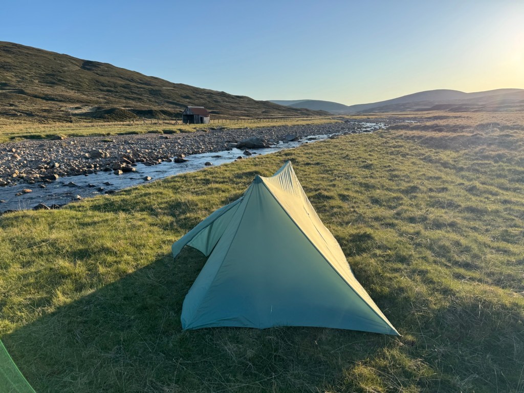
Water? Zero … nada … nichts. Tomorrow should be still working out as I will meet a major river relatively early. In Dalwhinnie I might also be able to get additional supplies and a water container.
But I am really getting worried now … with the really hot weather and sunshine all day (have not seen a cloud at all today) I need to drink between 4 and 5 liters during the day.
I will report … should be quite challenging tomorrow with lots of altitude meters and distance kilometers.
Day 5 campsite … no water anywhere in sight … in Scotland!
I started relatively early this morning to make sure I would make it in time to buy supplies in Fort Augustus.
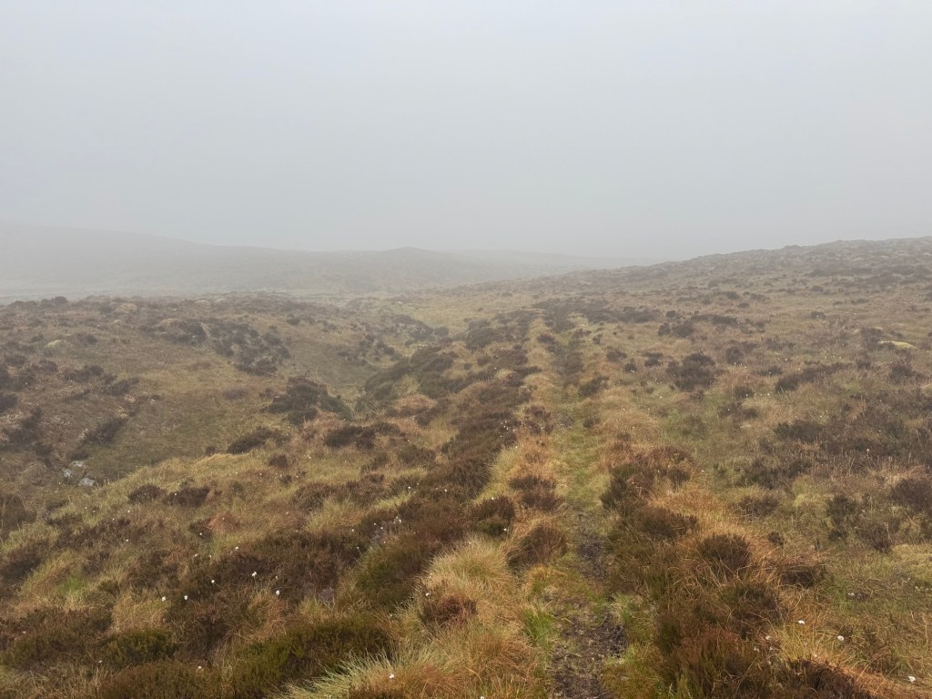
Very cold and misty in the morning! I walked through an old forest following a small path up … till it ended and then 5km through boggy terrain … very exhausting.
Boggy terrain and poor visibility
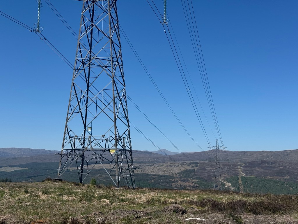
The sun came at around noon and showed the not so beautiful path following massive power lines and clear cuts.
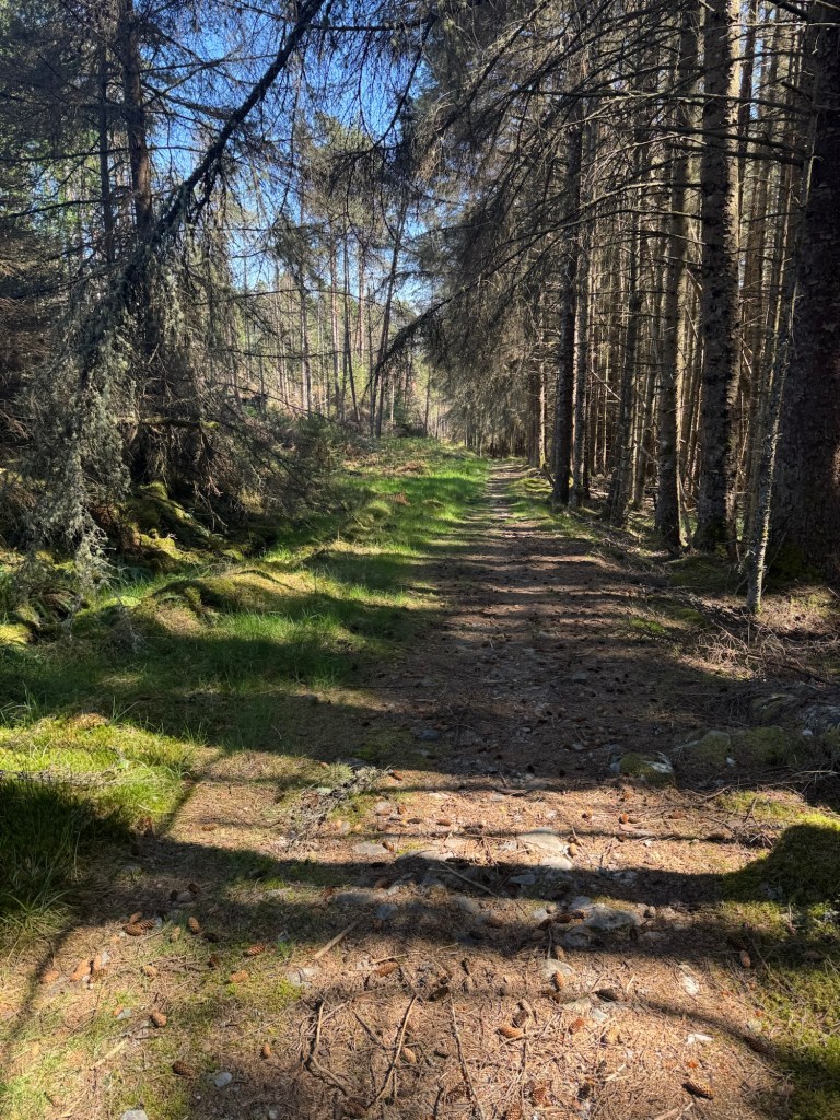
That was the view a large part of my day today… but it also went through a nice forrest at the end
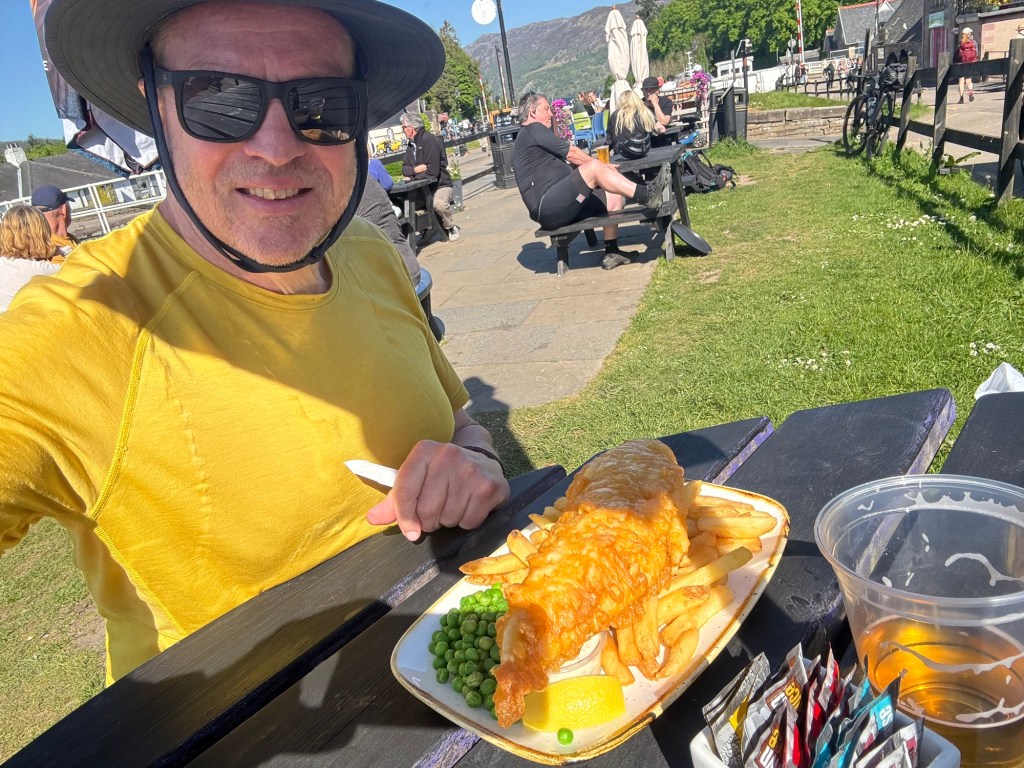
But I had a rendezvous today which boosted my motivation — a shop, a restaurant, and a (well actually 2) beer … and later on with a bunkbed in a room staffed with a shower and toilette 🥳.
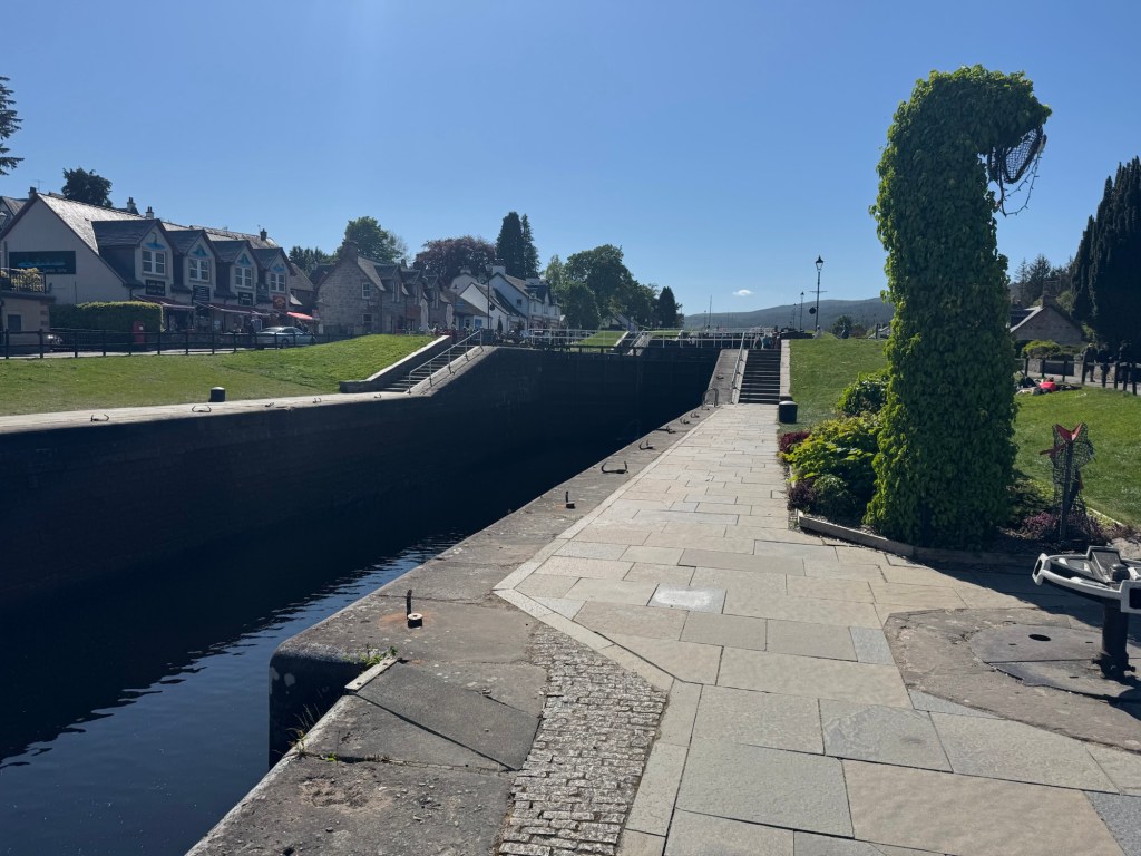
Fort Augustus with the caledonian canal and several bars / restaurants is a nice little place, but overrun by tourist buses filled with asians, mainland europeans and americans.
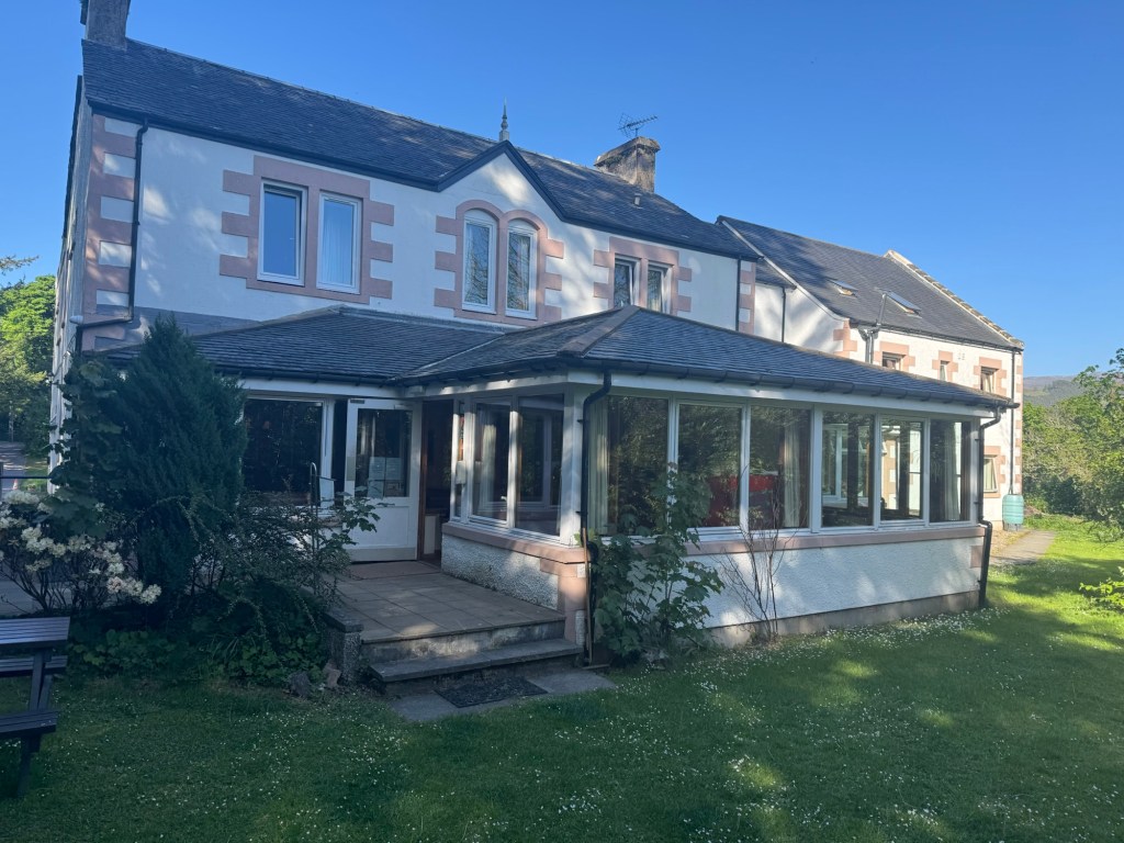
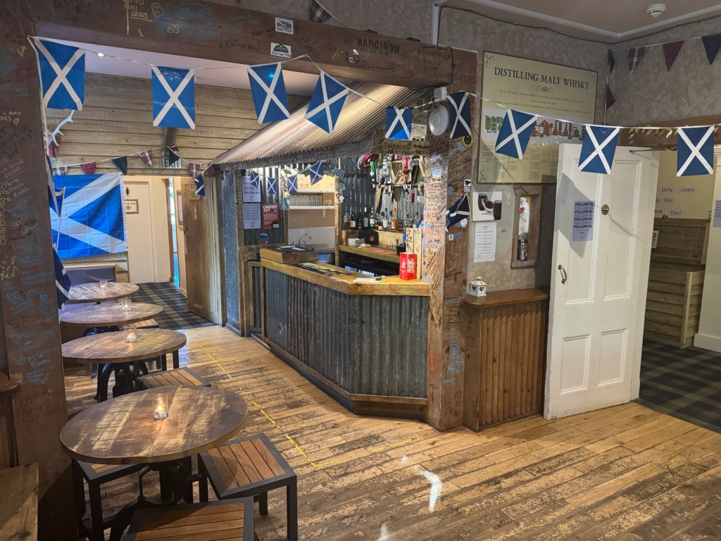
Caledonian CanalMy first dinner at 16:00 — will have another one at 19:00 😋My bunkbed at the …Morag Lodge with a beautiful …Bar!
Tomorrows tour will be quite tough and strenuous over the Corrieyairac pass down into the Spey Valley – 32 km and 1000 am!
Day 2 – very long and hot!Day 3 — almost as long as day 2, but felt longer
What a beautiful campsite I left, but spoiler, the day 2 one was even more beautiful. I was initially planning to take the originally planned route over the mountain, but decided against it and went around – added 8 km l, but likely saved a couple of hours and also allowed me to visit the falls of glomach.
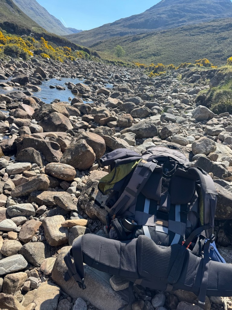
Lots of path less walking today with plenty of deer sightings (no walkers though) and really low water levels. The river ling is normally not crossable … no problems today.
Not the river ling … but that is the normal sighting with respect to waterNonach lodge and Loch Long
And plenty of deer on the way – can you count the ones on the ridge?
You should see at least 10 staring at you!
Should be about 50 …
Walking up Glen Elchaig I eventually turned towards the Falls of Glomach. I decided to do that because there was still water coming down. And after a very steep gorge walk I saw them.
Falls of Glomach 1
Falls of Glomach 2
And then for another 3 km looking for the perfect camping place.
What can I say — even with a shower and pool.
Pool and ShowerFelt so good!
Day 3
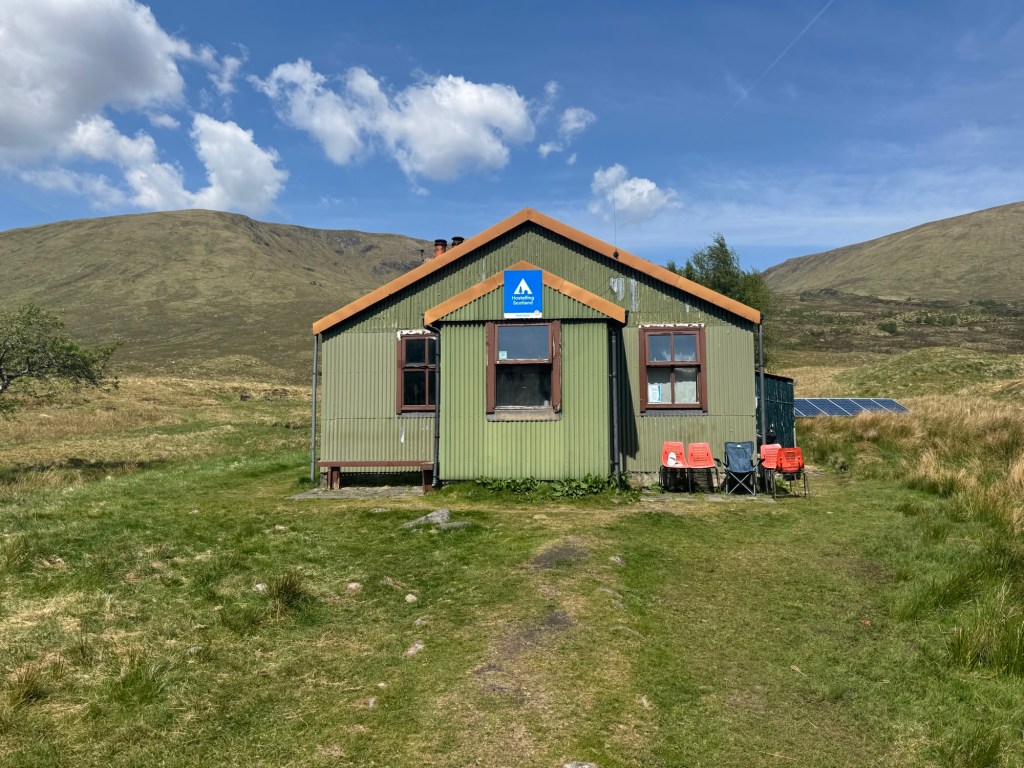
The following day I decided against climbing the Sgurt nan Ceathramhnan because of the water scarcity on the ridge. Instead I went around into Glen Affric, passing the Youth Hostel (!!!) and the followed the Affric Kentale trail for about 10km – felt like a highway … saw at least 10 walkers.
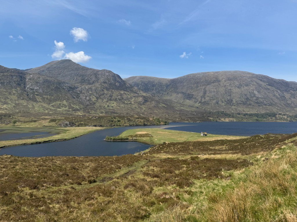
The Youth Hostel (Altbeithe)Loch Affric
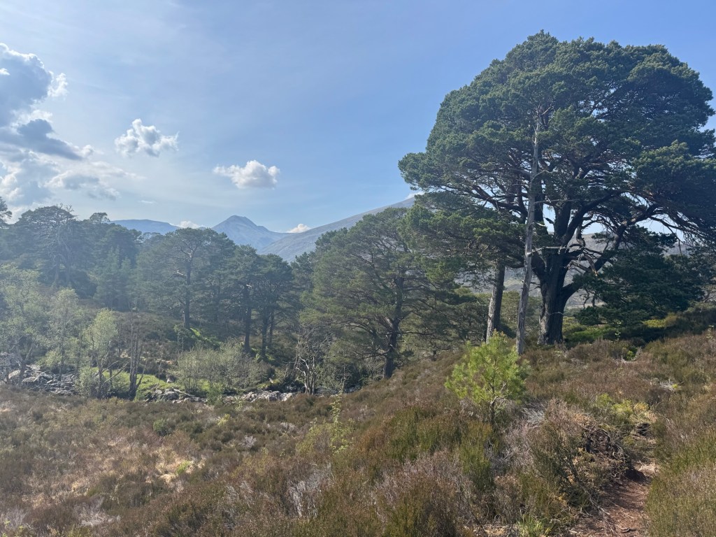
Halfway down the lake I took a tiny path to Dougie passing through an ancient scot pine forest.
Beautiful old Scot Pine
After another 10km I reached Cougie and my campsite.
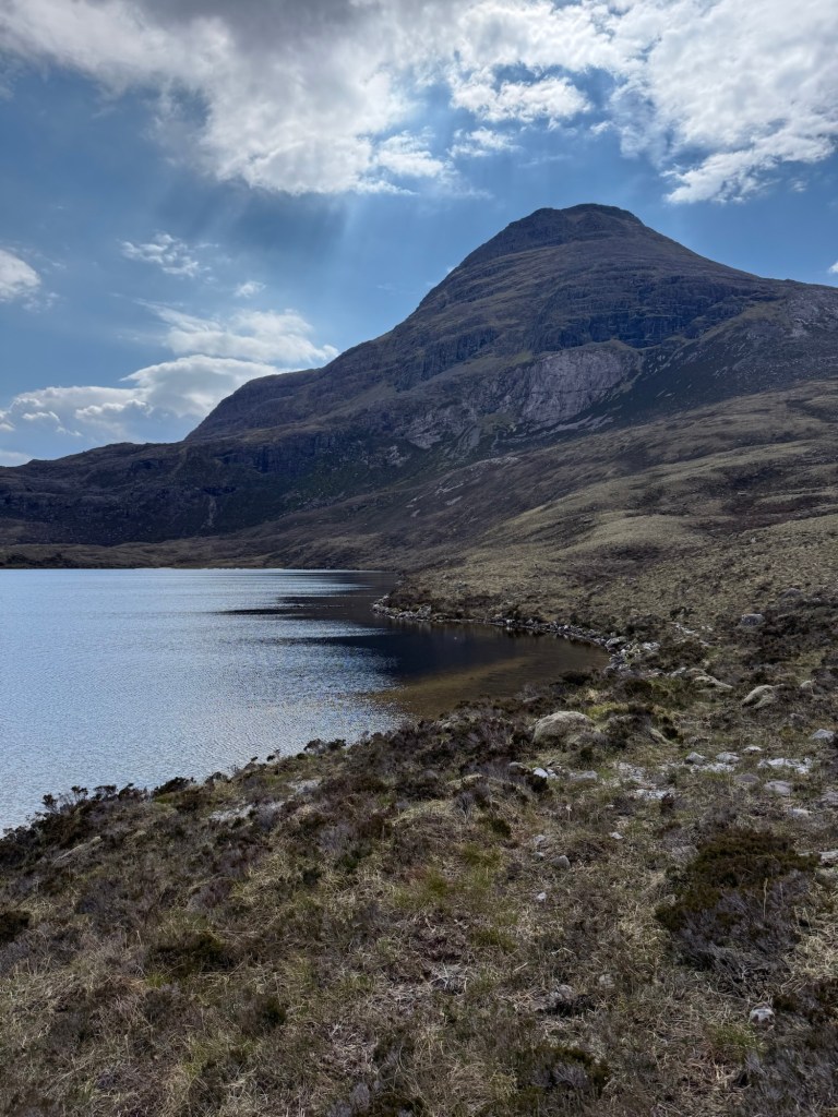
Phantastic mountain range starting in Torridon – approx 7km and 600 AM up to see the first Munro (Maol Chean-dearg) that I pass without climbing 😎 and opposite to that a fascinating rock formation (An Rhuad-Stac).
Maol Chean-darg (933m)An Rhuad-Stac (892m)
After the pass a steep descent into a valley leading to Stratchcarron. I passed the beautiful Mountain Bothy COIRE FIONNARAICH.
MBA Bothy Coire Fionnaraich
After reaching the Strathcarron Hotel I stopped for a Cider and to listen to some Scottish Music and then off to the last 6km and 400 AM for my sleeping site at the Lochan Fuara.
Scottish Music at the Bar / Restaurant
Total walking time around 7 hours. Cooked a small dinner and watched the trouts jumping.
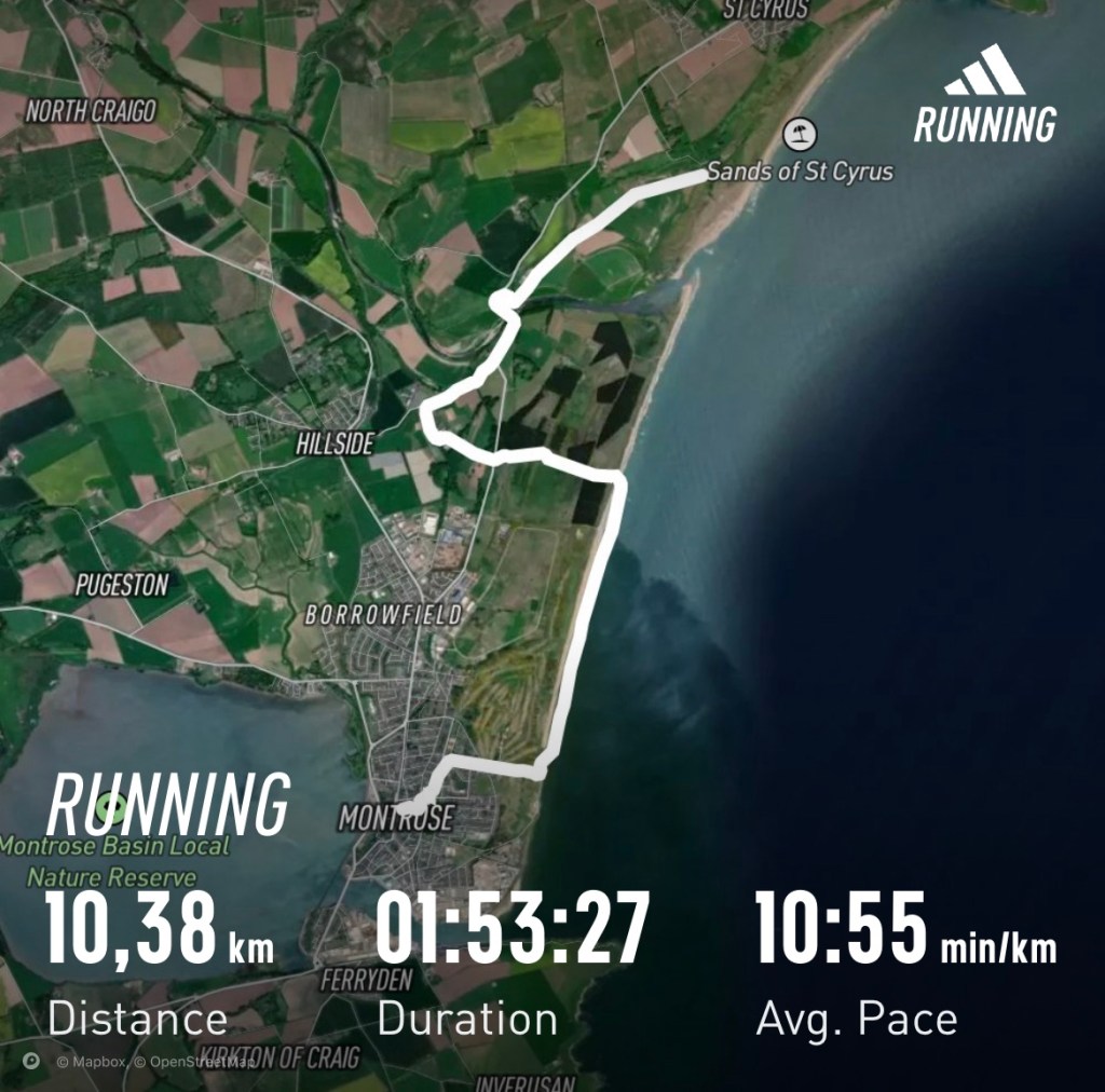
Final Summary VideoA little stroll from St. Cyrus, where I completed the challenge yesterday to Montrose — passing the “traditional” strawberry factory (aka CHARLTON FRUIT FARM)
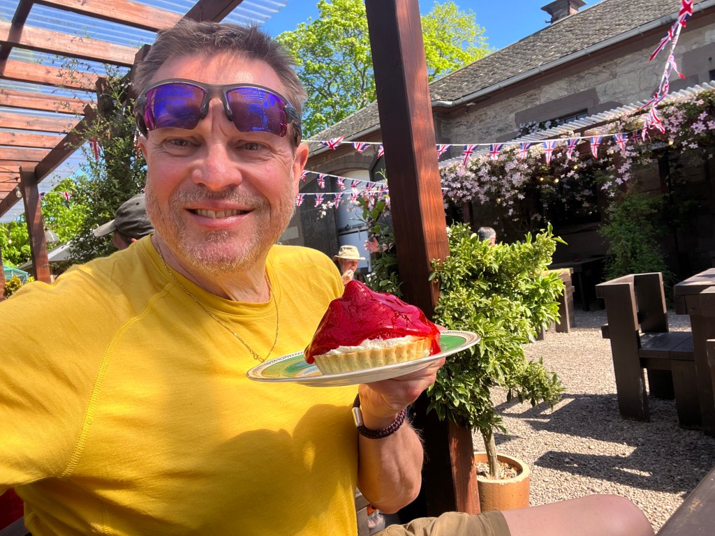
What another great day — weather and mood wise. I left my camping site at around 09:30 and was at the CHARLTON FRUIT FARM about an hour later for a full scotish breakfast and a strawberry tart.
The “traditional” strawberry tart
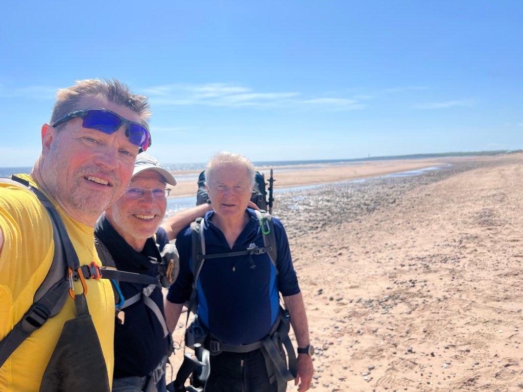
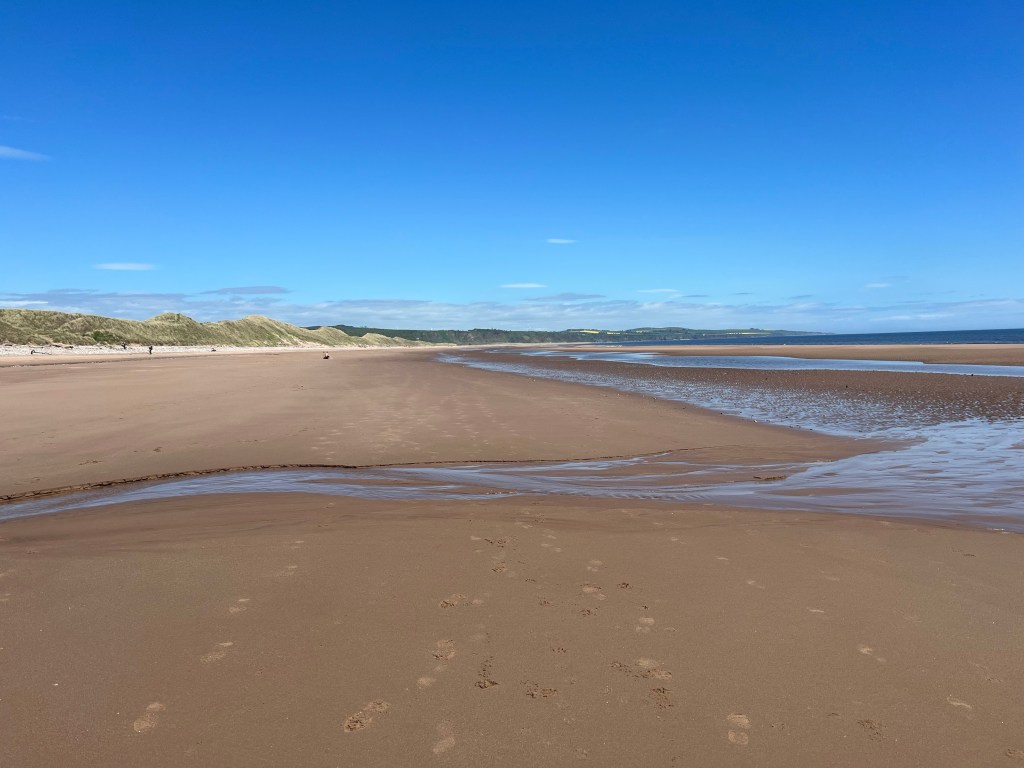
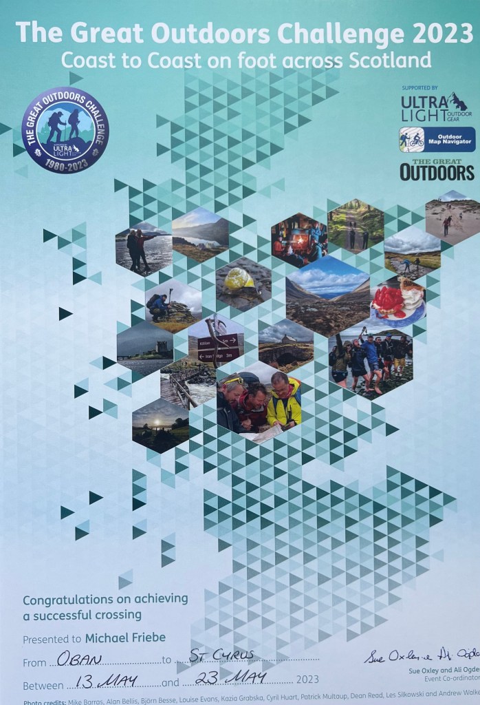
Then I walked down to Kinnaber Links where I ended up last year and followed the beautiful and rather empty beach stretch to Montrose and the Park Hotel to sign out and receive my certificate, mug, and T-shirt.
MF – TGOC 2023 – and now 5km to MontroseAt Kinnaber Links – quite a popular space to finishBeach from Kinnaber Links to Montrose My Certificate… and the first Cider … followed by another one …
At 19:00 we have a Challenge Dinner — I expect about 75 attendees. Tomorrow morning I will leave towards Edinburgh airport by train at around 07:45 for a flight to Düsseldorf leaving at noon.
DONE! Thanks for reading up and following my trip … next year I will (likely) pause and strongly consider doing it again 2025!
After I arrived in Fettercairn I decided to continue to Laurencekirk and once there I wanted to go all the way!
Wonderful day … excellent weather … and I am in good shape. My plan was to actually to go to the FETTERCAIRN DISTILLERY and a little further.
I was one of the last yesterday evening and subsequent one of the last to leave the campsite 🏕️ … only 3 or 4 tents still build up after I left around 09:30.
Look back into Glen Esk
First I went down Glen Esk for about 15km, initially on the road and after crossing the Esk on a typical path along the river. Before the ROCKS OF SOLITUDE (a picturesque gorge) I crossed it again and then went off the side roads to FETTERCAIRN … nice countryside and no cars at all.
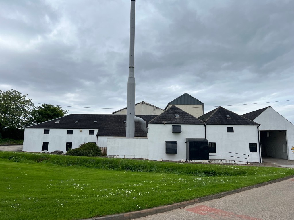
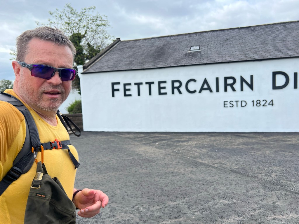
The beautiful looking distillery was supposed to be open … it is clearly tuesday today and that is the day they are open from 10-17 according to the information on the door … I was there around 13:30, but no one was there 🤨
Fettercairn Distillery — should have been open … but was not 😥
Oh well, so I decided to have a quick snack and coffee at the local “grocer” anc went on to Laurencekirk. Little sad that place … so on and up the hill to the cairn where I made the video below.
360 degree from the hill east of Laurencekirk
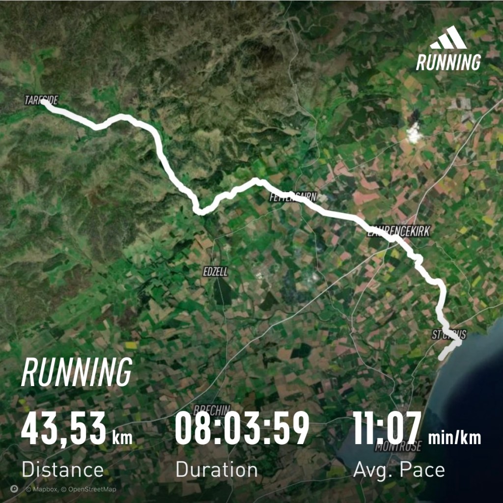
Maybe better to go the additional 7km to St. Cyrus and finish the challenge a day earlier. Off I went and had to first deal with electrified fences that I had to circumvent.
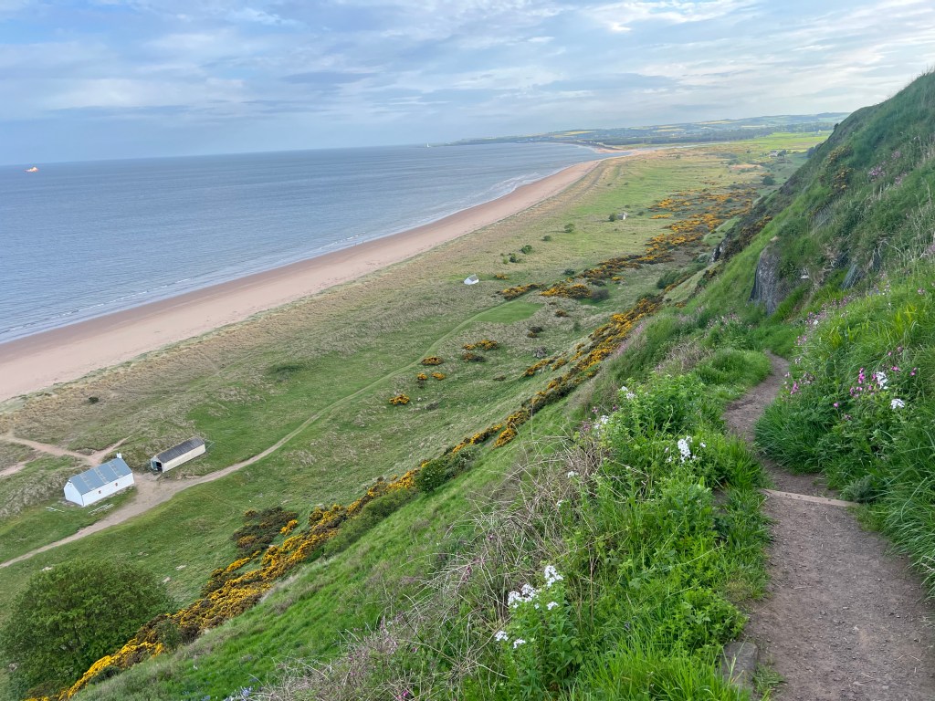
And then I reached St. Cyrus after 43 km for the day … have a look at that awesome beach … scotland at its best!!
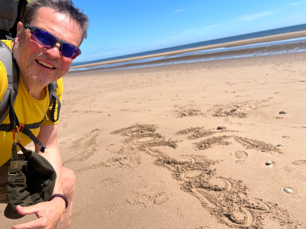
St. Cyrus beach and cliffReaching the NORTH SEA — TGO Challenge 2023 completed ✔️
So last time camping — 11 nights in total, 8 camping, 1 youth hostel, 1 pod, 1 hotel.
And tomorrow a mere 10km to MONTROSE passing by the fruit farm to have a strawberry tart.
After check-in with challenge control I will go to my hotel and later on attend the Challenge Dinner at the PARK HOTEL.
Thursday morning 07:47 train to Edinburgh and then the plane to Germany around noon local time.
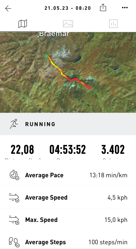
It was a really nice walking day and the last with some challenging hills to cover. It ended up to be 23km and quite a bit of up and down plus a lot of path searching and about 3km through peat and bog.
Last view into Glen Clova
I felt really good and strong and left rather late … passing many on the way up to Loch Brandy.
I did not take the standard route down to Loch Lee, but stayed high … amazing how many deer I saw … several hundred and sometimes only 100m away from me.
Sitting in the bog and having a short break … 5 minutes later the herd of deer passed (see video)
And eventually I reached the last cairn with a really nice view from Lochnagar to Mount Keen. Please see the video as well.
Panoramic view — from left to right — LOCHNAGAR range … Cairngorms (with the snow) … Mount KeenVideo view from the last hill top — Glen Lee to Mount KeenMount Keen — was there last year — most easterly Munro
After descending into Glen Esk I followed the road towards Tarfside and about 1km before my final stop I was greeted by 92 year old Angus, a retired sheep farmer, and his 3 legged dog. He forced me very friendly to have a cup of tea with him and to chat about live and other things 😀 … and he made me sign his guest book … incredibly full and very international, which makes me assume that this is his prime activity these days. Very friendly and entertaining … Angus later showed up at the BBQ on his mountain bike 🚵 and stayed pretty much till the end!!
Angus, the 92 yoa former sheep farmer and his 3 legged dog — had tea with him!
After Angus I reported into St. Drostan and had a bacon roll and a cake and subsequently went to the unofficial campsite with already 20 tents up and by the end of the day with probably around 35.
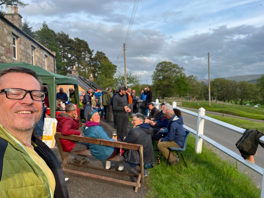
At 18:00 the local masons started their BBQ (I had two cheeseburger) and opened the bar. There were about 3 times as many people here as last year … which also caused the bar to close at around 22:00 … no more drinks available!
Was a very nice evening … quite cold at the end and during the night. My goal for tomorrow would be to go as far as possible … maybe even all the way to St. Cyrus … that is a long way (40km), but let’s see!
The Tarfside eventThe Tarfside Masonic Lodge BBQ – probably around 50 challengers in and outside. Many I have met this or last year already …. amazing!22:30 campsite … around 35 tents 🏕️
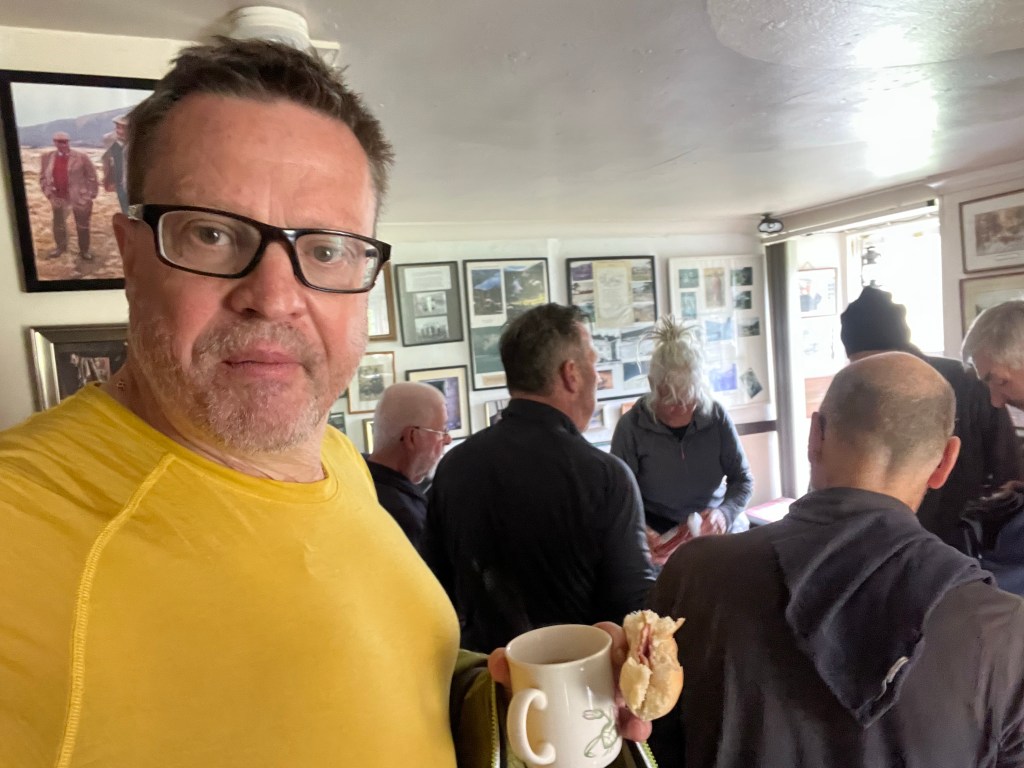
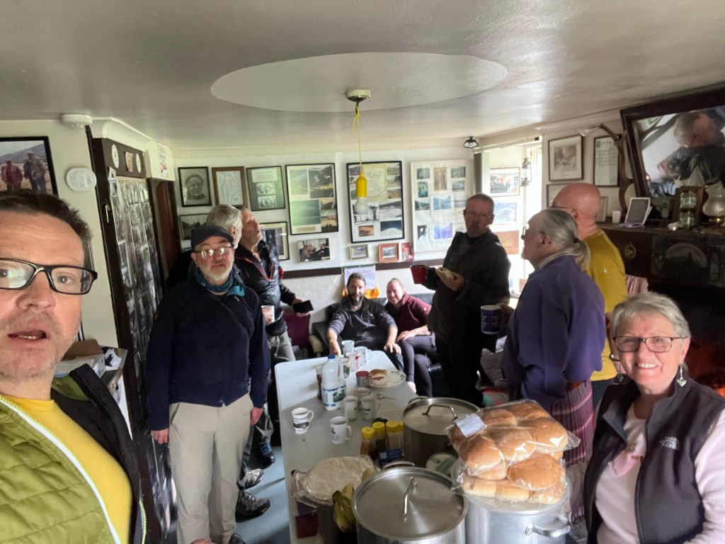
After the Callater party that ended for me at 30 minutes past midnight I got up at 07:30. Already heard and smelled breakfast activities. Packed my backpack and had two wonderful Bacon sandwiches (never seen those in Central Europe) with brown and red sauce (whatever that is anyway, but they said you either are a red or a brown sauce person – I liked both and even without any sauce).
Tea and Bacon Sandwich at 08:00 at the busy Callater Lodge — some challengers only slept a couple of hours — see yesterday’s post
And then it was time to say goodbye and leave … not without a final picture. Thank you one more time!
And off I went along Loch Callater towards the famous JOCK‘s road (😀 – I lost the path several times because it was not recognisable) up about 500m from the Loch surrounded by Munros. The path itself is on Munro level.
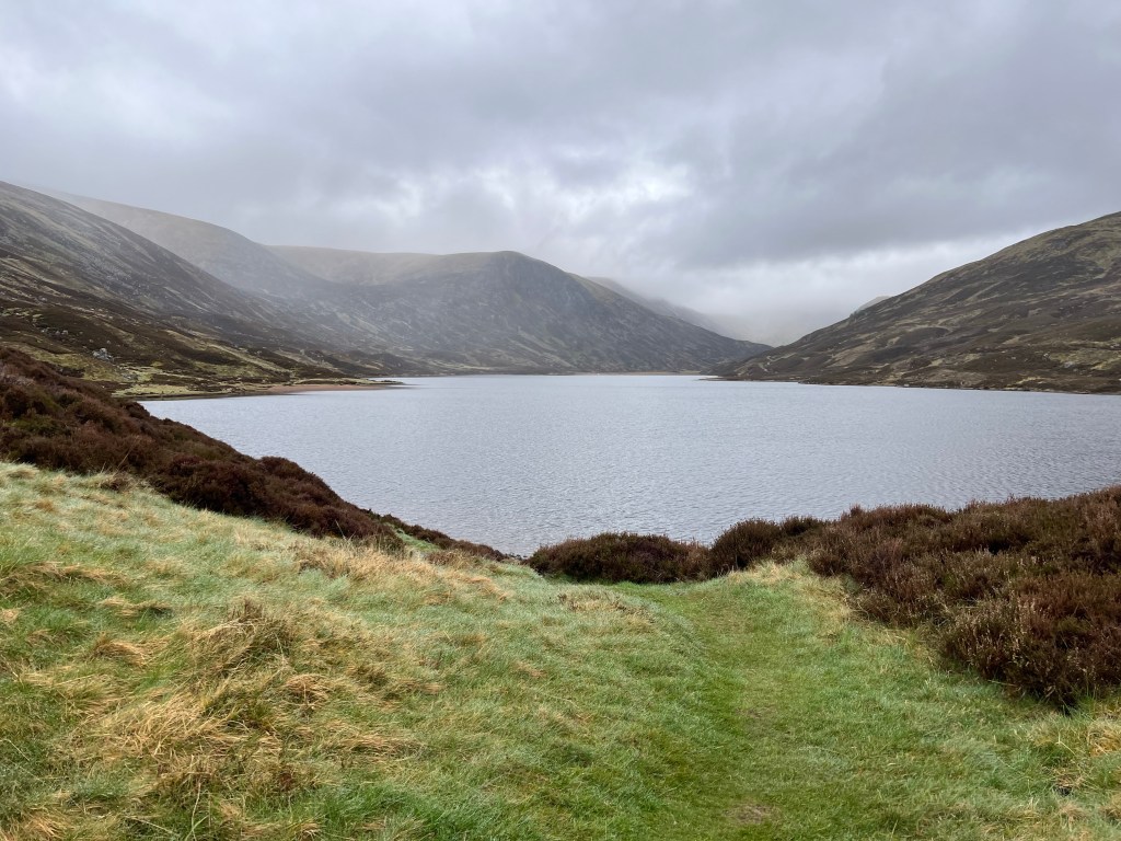
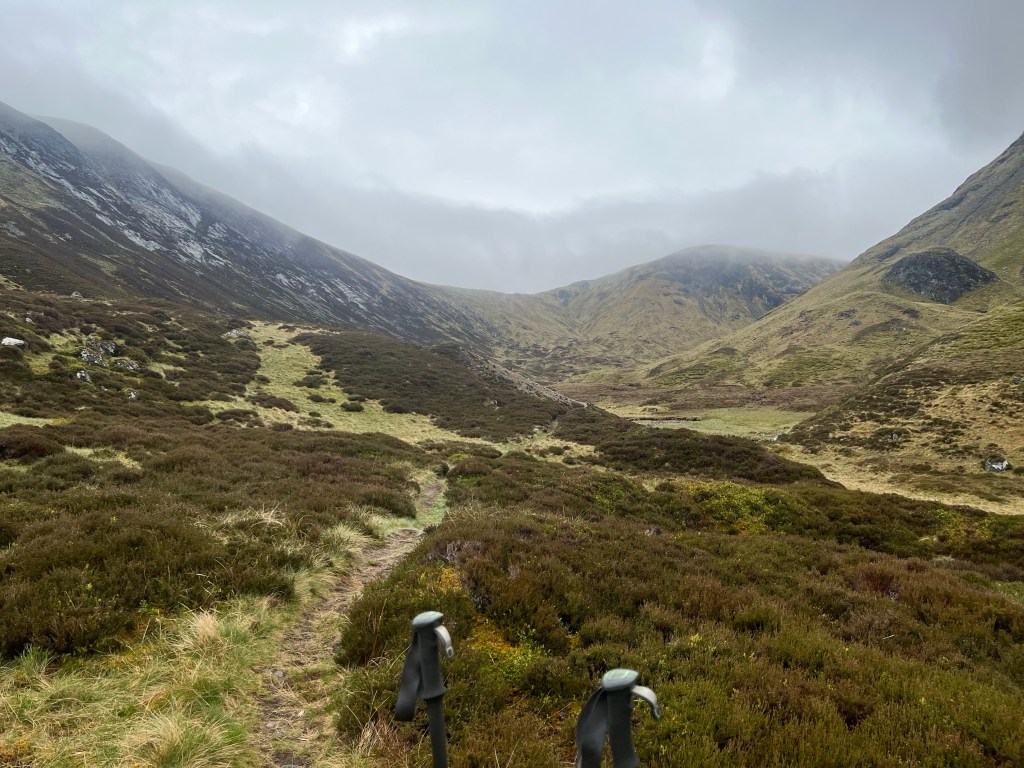
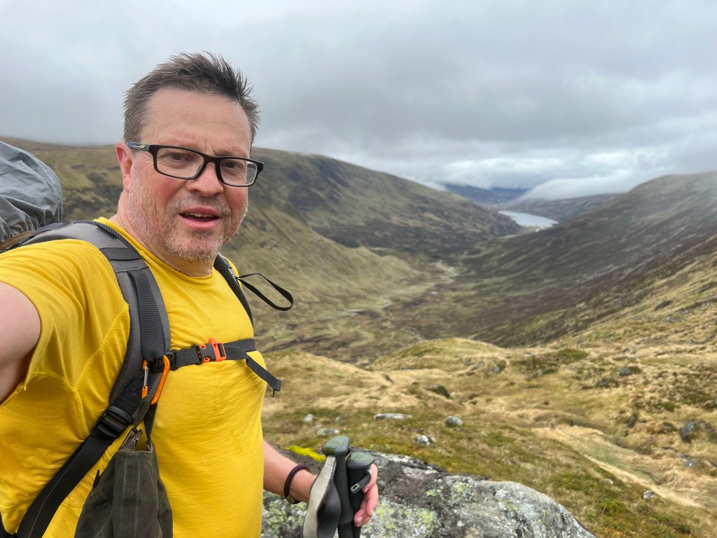
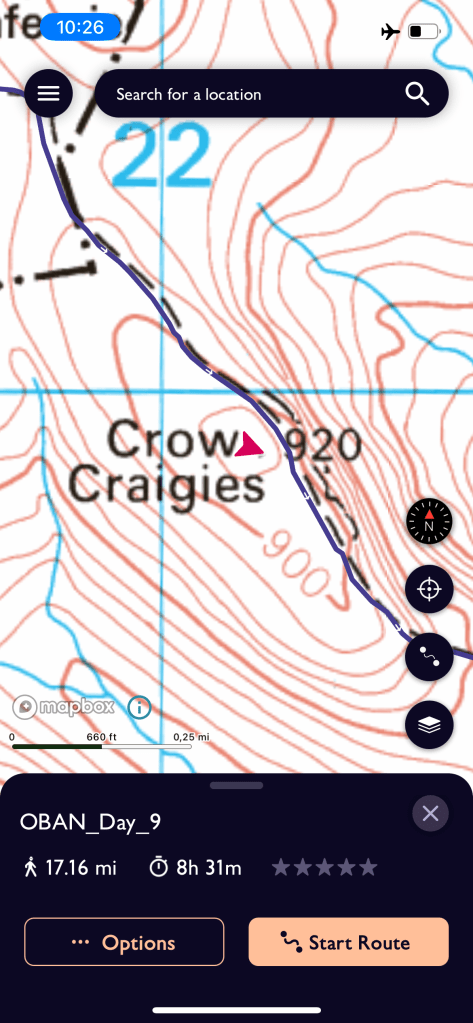
See the pictures below for an impression of todays tour that was rather cold (I guess 2-3 degrees on top … at least with the windchill) and misty. I was quite exhausted despite the low kilometres and look forward to the hotel bed and good food tonight. … and I will do my laundry 🧺
Tomorrow is the last real mountain day … have to climb up 600 m to above Loch Brandy (been there last year in September already) and then back down into Glen Esk to Tarfside. Should be about the same length than today … which means I will leave late … maybe 10:00 or 10:30.
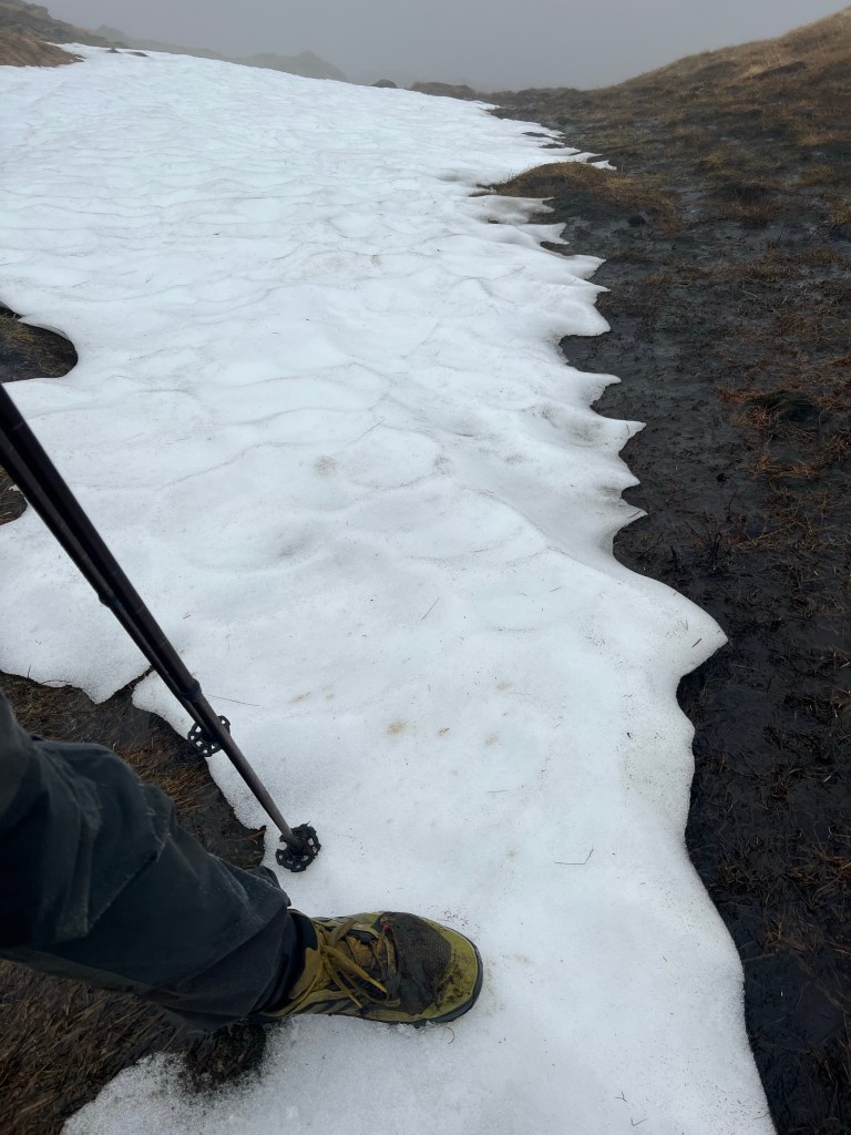
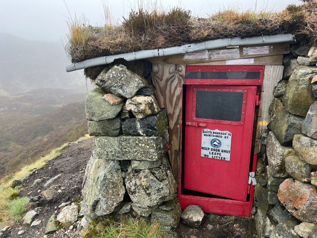
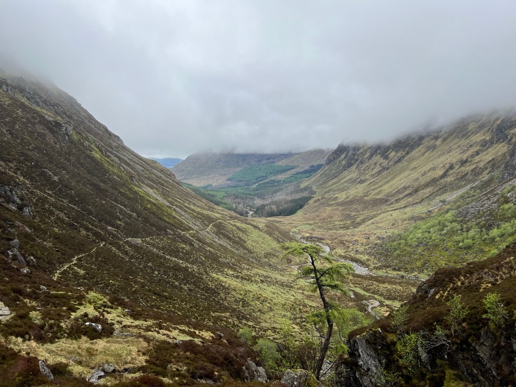
Loch Callater – my path lead me towards the mountains in the clouds on the top rightThat is where I have to get up toView back towards Loch Callater halfway up to the ridge Highest point on the road – above the minimum Munro height of 3.000ftAnd I touched a snow patch … was actually slightly snowing up there and very misty … could not see muchLittle further down a rescue shelter … after 5 people from Glasgow died up here in the 1960‘sView down Glen Doll that connects to Glen ClovaAnd the view up …Heavy damage … still Kyrill … made the first part of the original Jock‘s road impassable And then I made it to the Glen Clova Hotel